Stadtentwicklungsplan (StEP) Wohnen 2025
| Type | wms |
|---|---|
| Title | Stadtentwicklungsplan (StEP) Wohnen 2025 |
| Category | Planen/Bauen/Denkmal |
| Download | See individual layer for download link. |
| FisBroker-Link | http://fbinter.stadt-berlin.de/fb/index.jsp?loginkey=showMap&mapId=stepwohn2025@senstadt |
| Keywords | Stadtplanung,Area management/restriction/regulation zones and reporting units,Karten,Geodaten,Berlin,Stadtentwicklungsplan,Wohnen |
| Beschreibung | |
| link | ?id=stepwohn2025@senstadt&type=WMS |
| kurzbeschreibung | Der StEP Wohnen 2025 benennt die stadtentwicklungs-und wohnungspolitischen Leitlinien und Ziele sowie Strategien und Handlungsfelder für die Neubau-und Bestandsentwicklung bis 2025. |
| koordinatensysteme | EPSG:25833 |
| ausdehnung | EPSG:25833: 369097,85, 5799298,14, 416865,04, 5838236,21 |
| ebenen | Hintergrund ÜK50 Hintergrund Stadtstruktur S- und U-Bahnnetz Landes- und Bezirksgrenzen S- und U-Bahnhöfe StEP Wohnen: Neubaubereiche StEP Wohnen: Einzelstandorte |
| nutzungsbedingungen | Nutzungsbedingungen: Für die Verwendung der Daten gelten folgende Nutzungsbestimmungen: http://www.stadtentwicklung.berlin.de/geoinformation/download/nutzIII.pdf - Der Quellenvermerk gemäß §2 lautet "Geoportal Berlin / [Titel des Datensatzes]". |
| zugriffsbeschränkungen | Es gelten keine Bedingungen |
| beschreibung | Stadtentwicklungsplan Wohnen, Strategien und Maßnahmen |
| Anbieter | |
| Adress | Senatsverwaltung für Stadtentwicklung und Umwelt Berlin Berlin Fehrbelliner Platz 1, 10707 Berlin |
| telefon | +49-30-90139-5257 |
| fax | +49-30-90139-5251 |
| fisbroker@senstadtum.berlin.de | |
| Technology | |
| standard | WMS |
| version | 1.0.0 1.1.0 1.1.1 1.3.0 |
| operationen | GetCapabilities GetMap GetFeatureInfo |
| grafikformate | image/jpeg image/png |
| rechneradresse | http://fbinter.stadt-berlin.de/fb/wms/senstadt/stepwohn2025 |
| legend | |
| Layers | |
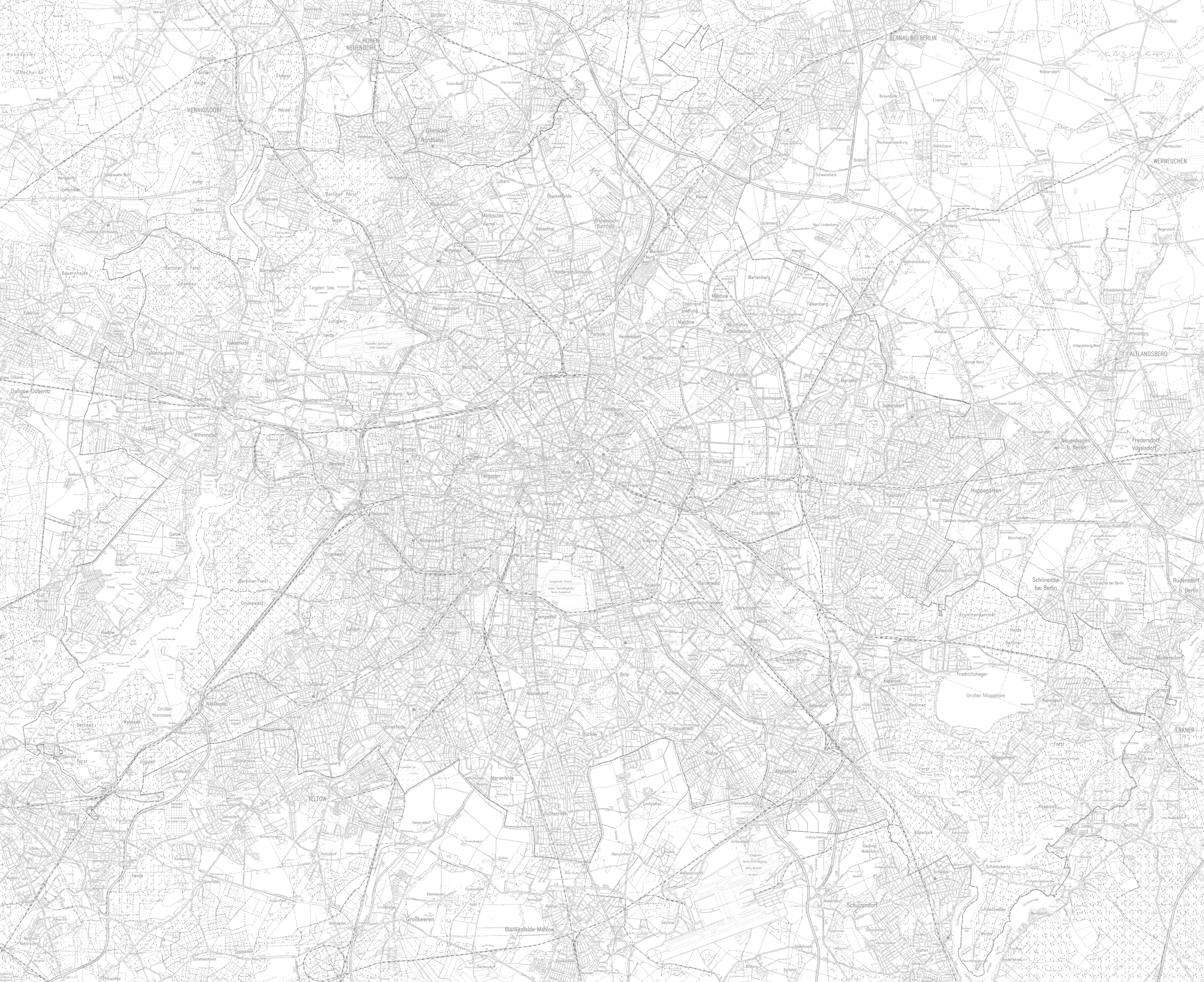
| Hintergrund ÜK50 (ID: 1) | |
| Show Layer on Map | |
| Download | Moabit Karte Berlin Karte |
| Abstract | |
| MetaData | http://fbinter.stadt-berlin.de/fb/csw?REQUEST=GetRecordById&SERVICE=CSW&VERSION=2.0.2&ID=9e4d1f07-89fb-306f-9b03-a92f9b345aac&ELEMENTSETNAME=FULL |
| GDI ID | undefined |
| Style | Standard GDI Style (gdi_default) |
| Legend | http://fbinter.stadt-berlin.de/fb/wms/legend/senstadt/stepwohn2025?layerID=1 (300x300) |
| ScaleHint | 5-125 |
| Keywords | Karten,Geodaten,Berlin,Stadtentwicklungsplan,Wohnen |
| BoundingBox | EPSG:25833 (5799298.1358,369097.8529,5838236.2097,416865.038) |
| BoundingBox | EPSG:4326 (52.3284,13.079,52.6877,13.7701) |
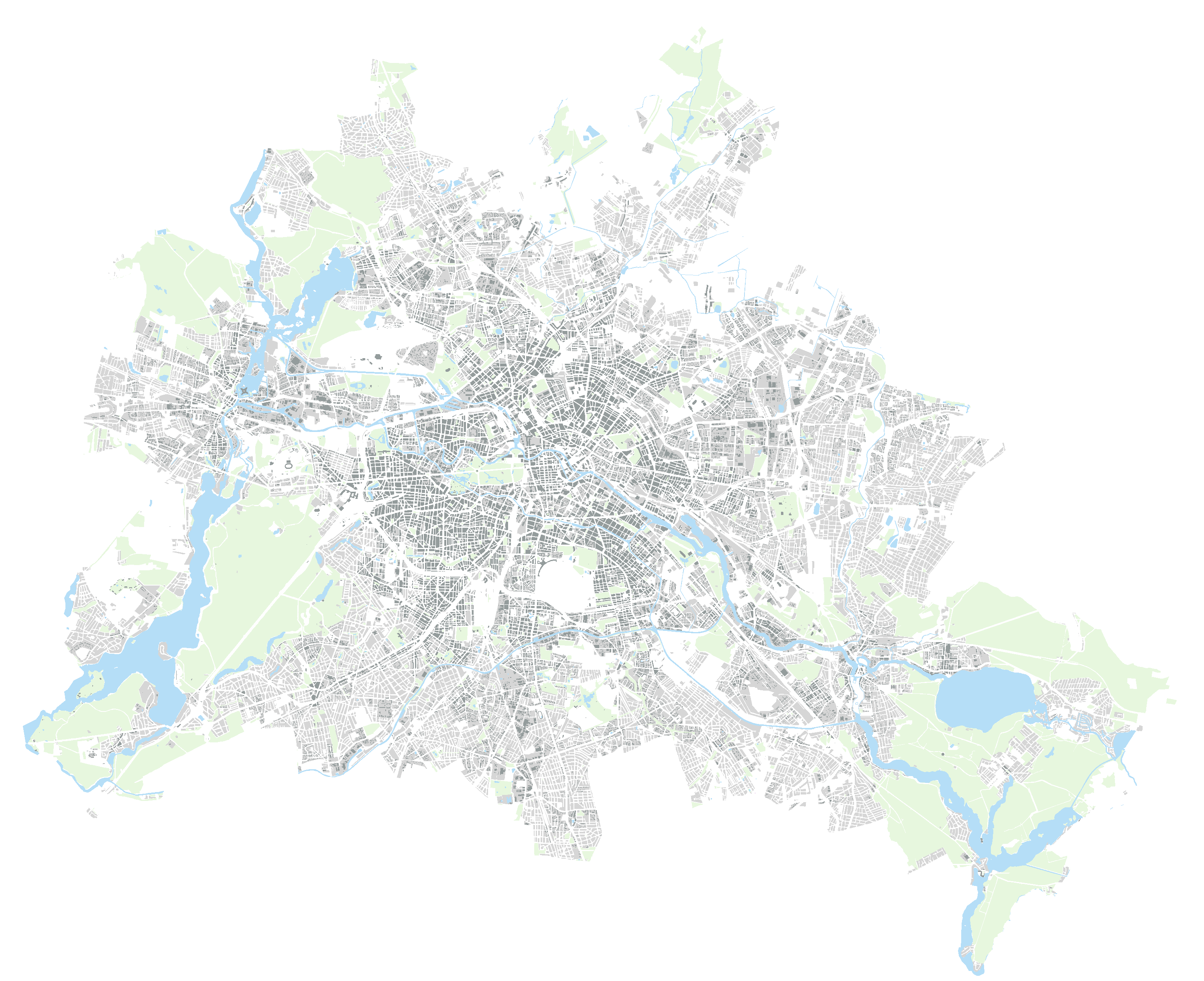
| Hintergrund Stadtstruktur (ID: 4) | |
| Show Layer on Map | |
| Download | Moabit Karte Berlin Karte |
| Abstract | |
| MetaData | http://fbinter.stadt-berlin.de/fb/csw?REQUEST=GetRecordById&SERVICE=CSW&VERSION=2.0.2&ID=9e4d1f07-89fb-306f-9b03-a92f9b345aac&ELEMENTSETNAME=FULL |
| GDI ID | undefined |
| Style | Standard GDI Style (gdi_default) |
| Legend | http://fbinter.stadt-berlin.de/fb/wms/legend/senstadt/stepwohn2025?layerID=4 (300x300) |
| ScaleHint | 0-1071594 |
| Keywords | Karten,Geodaten,Berlin,Stadtentwicklungsplan,Wohnen |
| BoundingBox | EPSG:25833 (5799298.1358,369097.8529,5838236.2097,416865.038) |
| BoundingBox | EPSG:4326 (52.3284,13.079,52.6877,13.7701) |
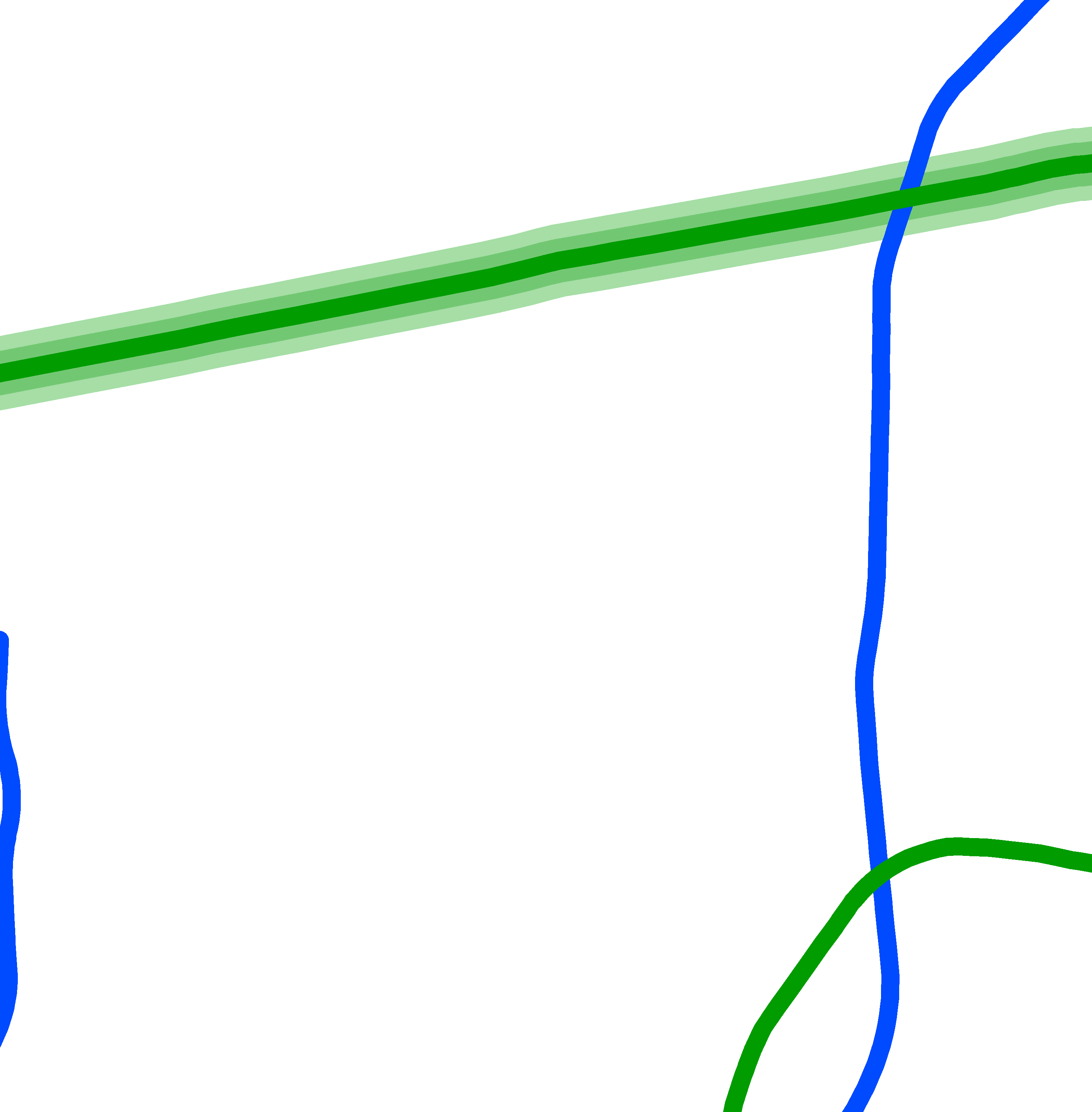
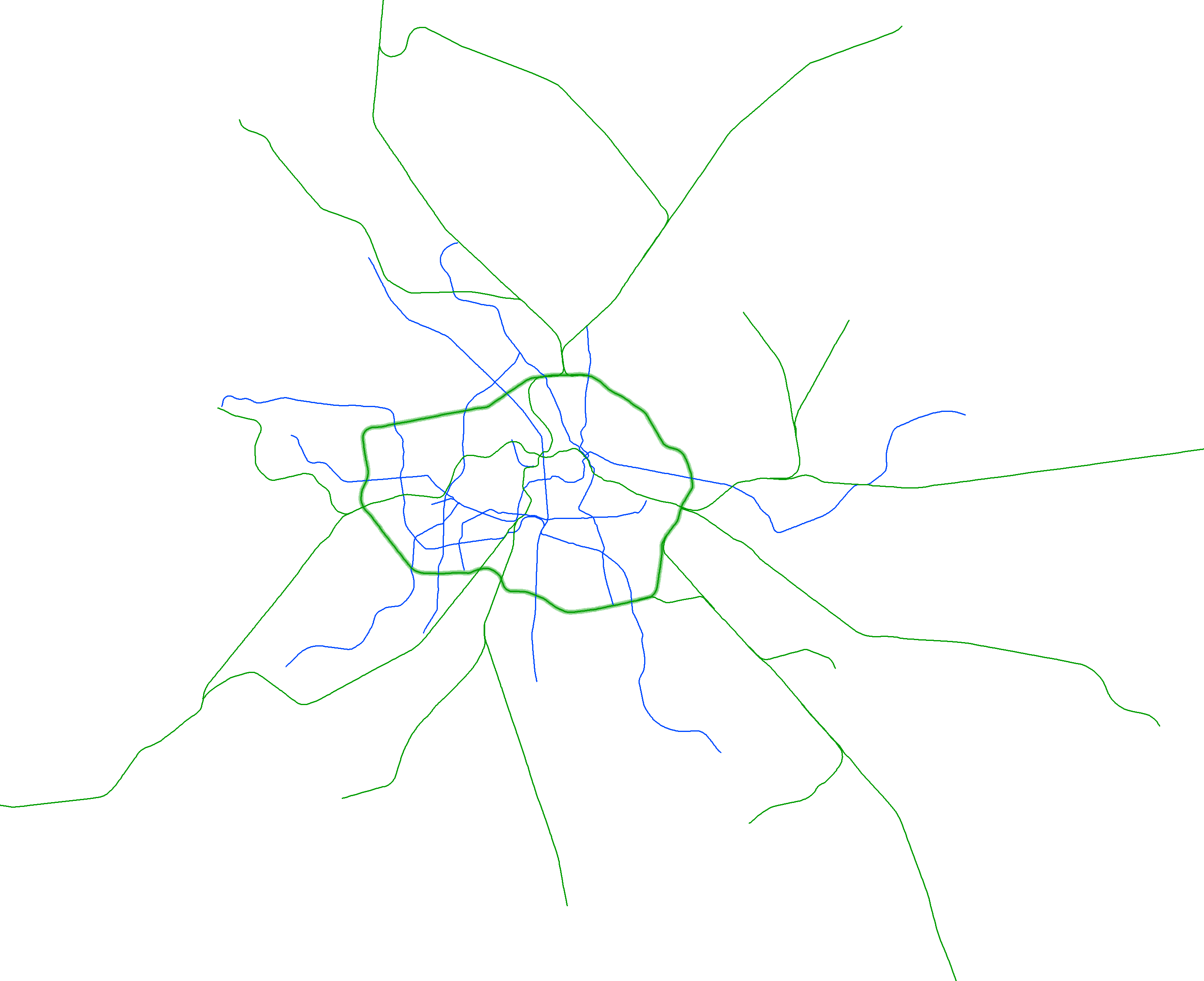
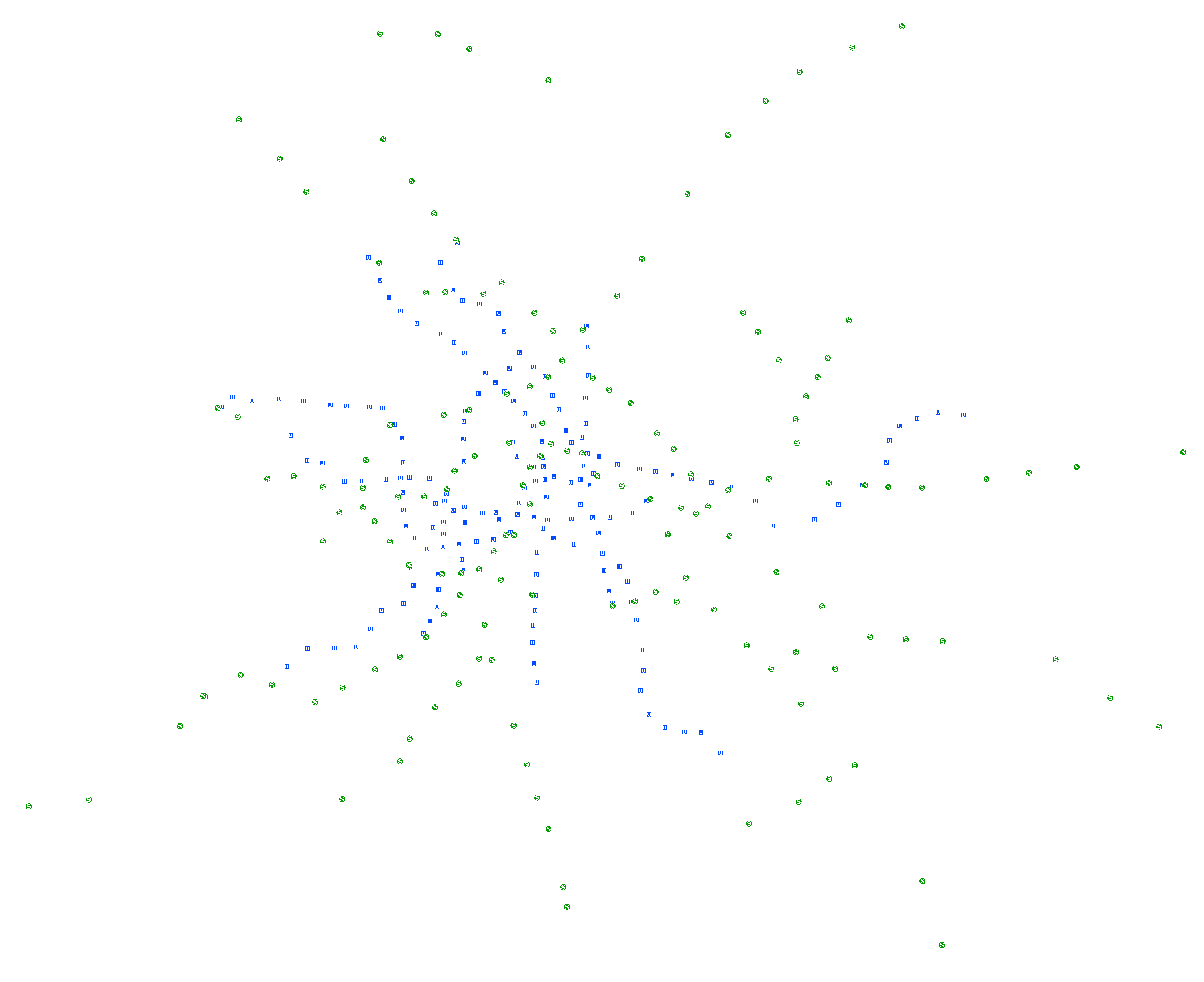
| S- und U-Bahnnetz (ID: 3) | |
| Show Layer on Map | |
| Download | Moabit Karte Berlin Karte |
| Abstract | |
| MetaData | http://fbinter.stadt-berlin.de/fb/csw?REQUEST=GetRecordById&SERVICE=CSW&VERSION=2.0.2&ID=9e4d1f07-89fb-306f-9b03-a92f9b345aac&ELEMENTSETNAME=FULL |
| GDI ID | undefined |
| Style | Standard GDI Style (gdi_default) |
| Legend | http://fbinter.stadt-berlin.de/fb/wms/legend/senstadt/stepwohn2025?layerID=3 (300x300) |
| ScaleHint | 0-1071594 |
| Keywords | Karten,Geodaten,Berlin,Stadtentwicklungsplan,Wohnen |
| BoundingBox | EPSG:25833 (5799298.1358,369097.8529,5838236.2097,416865.038) |
| BoundingBox | EPSG:4326 (52.3284,13.079,52.6877,13.7701) |
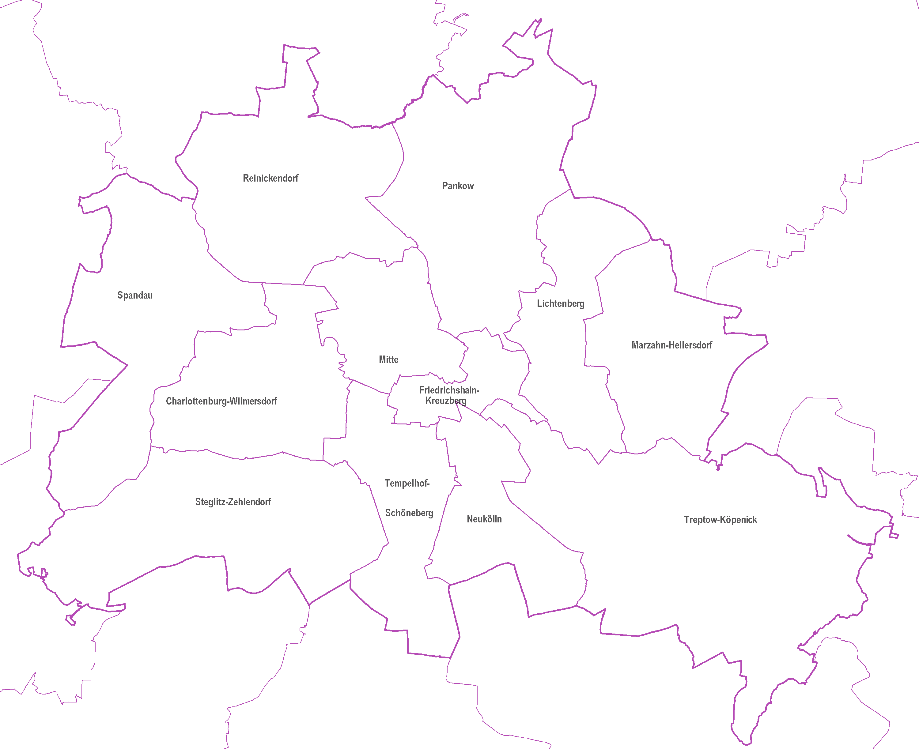
| Landes- und Bezirksgrenzen (ID: 5) | |
| Show Layer on Map | |
| Download | Moabit Karte Berlin Karte |
| Abstract | |
| MetaData | http://fbinter.stadt-berlin.de/fb/csw?REQUEST=GetRecordById&SERVICE=CSW&VERSION=2.0.2&ID=9e4d1f07-89fb-306f-9b03-a92f9b345aac&ELEMENTSETNAME=FULL |
| GDI ID | undefined |
| Style | Standard GDI Style (gdi_default) |
| Legend | http://fbinter.stadt-berlin.de/fb/wms/legend/senstadt/stepwohn2025?layerID=5 (300x300) |
| ScaleHint | 0-1071594 |
| Keywords | Karten,Geodaten,Berlin,Stadtentwicklungsplan,Wohnen |
| BoundingBox | EPSG:25833 (5799298.1358,369097.8529,5838236.2097,416865.038) |
| BoundingBox | EPSG:4326 (52.3284,13.079,52.6877,13.7701) |
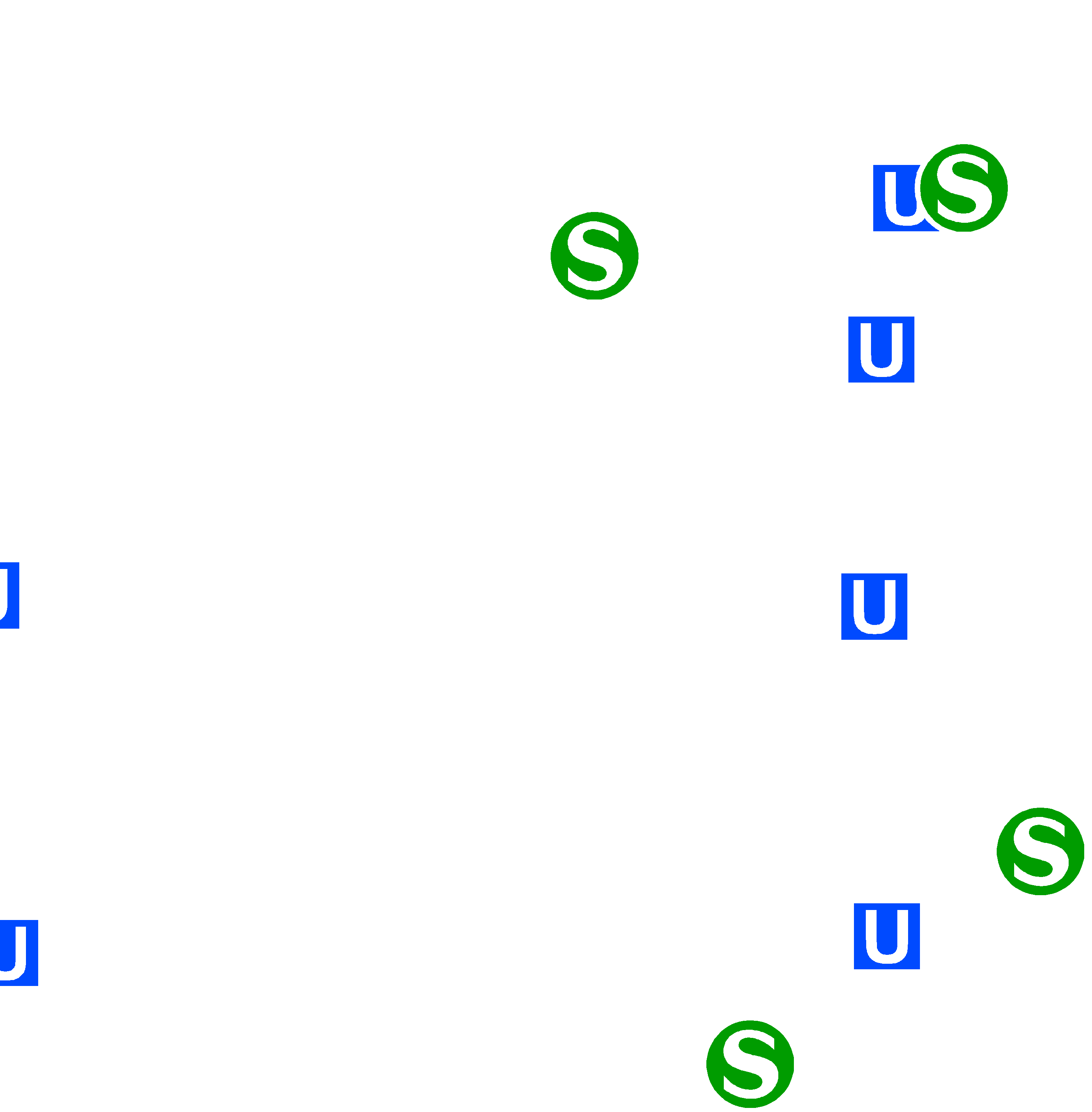
| S- und U-Bahnhöfe (ID: 6) | |
| Show Layer on Map | |
| Download | Moabit Karte Berlin Karte |
| Abstract | |
| MetaData | http://fbinter.stadt-berlin.de/fb/csw?REQUEST=GetRecordById&SERVICE=CSW&VERSION=2.0.2&ID=9e4d1f07-89fb-306f-9b03-a92f9b345aac&ELEMENTSETNAME=FULL |
| GDI ID | undefined |
| Style | Standard GDI Style (gdi_default) |
| Legend | http://fbinter.stadt-berlin.de/fb/wms/legend/senstadt/stepwohn2025?layerID=6 (300x300) |
| ScaleHint | 0-1071594 |
| Keywords | Karten,Geodaten,Berlin,Stadtentwicklungsplan,Wohnen |
| BoundingBox | EPSG:25833 (5799298.1358,369097.8529,5838236.2097,416865.038) |
| BoundingBox | EPSG:4326 (52.3284,13.079,52.6877,13.7701) |
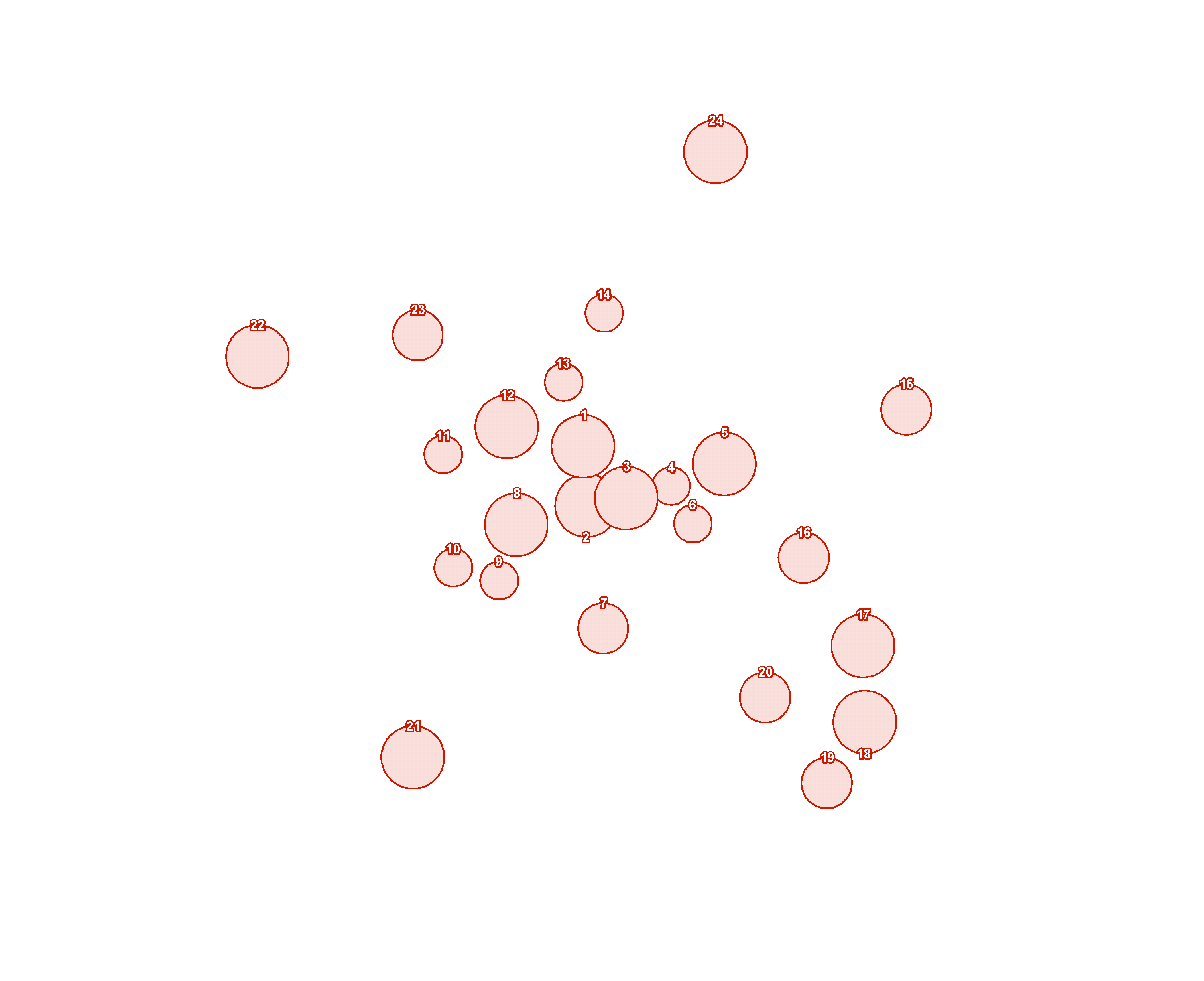
| StEP Wohnen: Neubaubereiche (ID: 0) | |
| Show Layer on Map | |
| Download | Moabit Karte Berlin Karte |
| Abstract | Stadtentwicklungsplan Wohnen, Strategien und Maßnahmen |
| MetaData | http://fbinter.stadt-berlin.de/fb/csw?REQUEST=GetRecordById&SERVICE=CSW&VERSION=2.0.2&ID=9e4d1f07-89fb-306f-9b03-a92f9b345aac&ELEMENTSETNAME=FULL |
| GDI ID | undefined |
| Style | Standard GDI Style (gdi_default) |
| Legend | http://fbinter.stadt-berlin.de/fb_daten/legenden/leg_stepwohn.gif (72x72) |
| ScaleHint | 5-125 |
| Keywords | Karten,Geodaten,Berlin,Stadtentwicklungsplan,Wohnen |
| BoundingBox | EPSG:25833 (5799298.1358,369097.8529,5838236.2097,416865.038) |
| BoundingBox | EPSG:4326 (52.3284,13.079,52.6877,13.7701) |
| StEP Wohnen: Einzelstandorte (ID: 2) | |
| Show Layer on Map | |
| Download | Moabit Karte Berlin Karte |
| Abstract | |
| MetaData | http://fbinter.stadt-berlin.de/fb/csw?REQUEST=GetRecordById&SERVICE=CSW&VERSION=2.0.2&ID=9e4d1f07-89fb-306f-9b03-a92f9b345aac&ELEMENTSETNAME=FULL |
| GDI ID | undefined |
| Style | Standard GDI Style (gdi_default) |
| Legend | http://fbinter.stadt-berlin.de/fb/wms/legend/senstadt/stepwohn2025?layerID=2 (300x300) |
| ScaleHint | 0-1071594 |
| Keywords | Karten,Geodaten,Berlin,Stadtentwicklungsplan,Wohnen |
| BoundingBox | EPSG:25833 (5799298.1358,369097.8529,5838236.2097,416865.038) |
| BoundingBox | EPSG:4326 (52.3284,13.079,52.6877,13.7701) |

