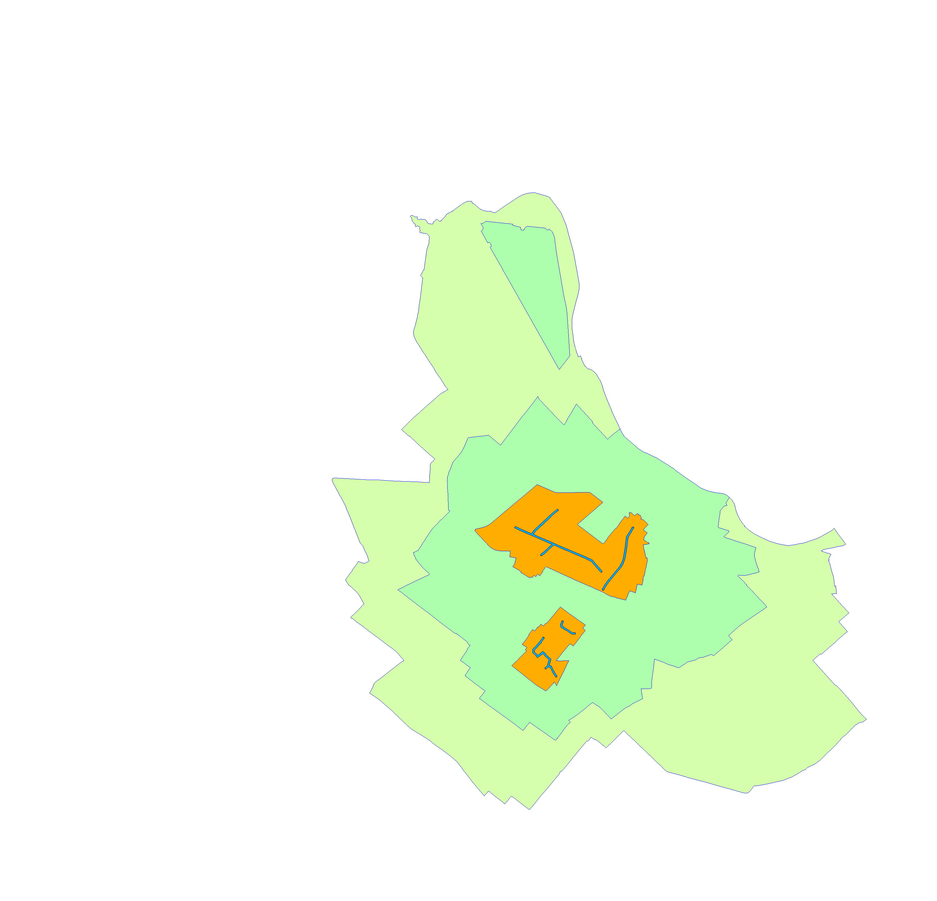
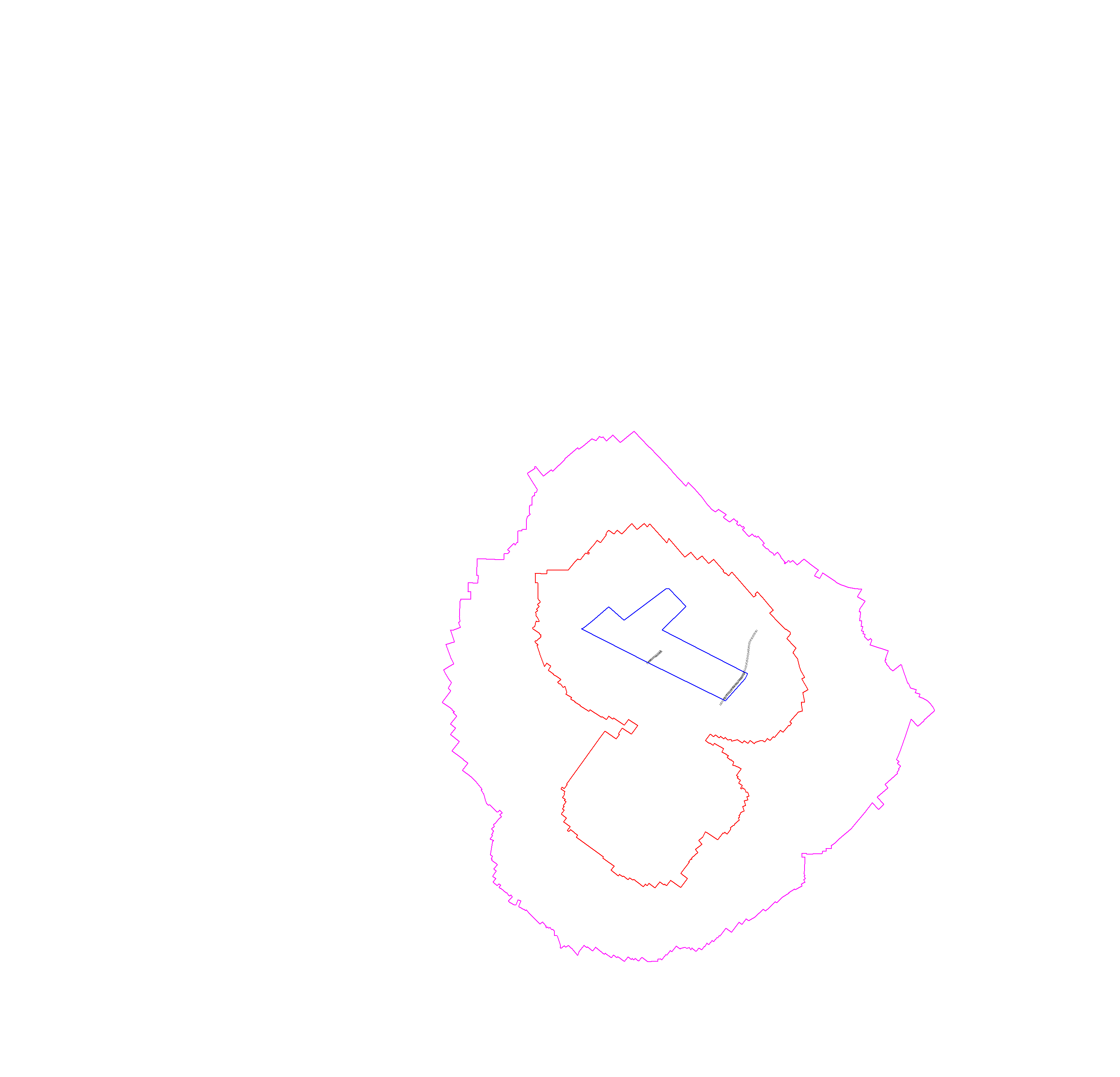
Wasserschutzgebiet Johannisthal (vorläufige Anordnung)
| Type | wms |
|---|---|
| Title | Wasserschutzgebiet Johannisthal (vorläufige Anordnung) |
| Category | Natur/Grün/Boden/Wasser/Klima |
| Download | See individual layer for download link. |
| FisBroker-Link | http://fbinter.stadt-berlin.de/fb/index.jsp?loginkey=showMap&mapId=k_wsg_johannisthal@senstadt |
| Keywords | Protected sites,Hydrogeologie,Schutzgebiet,Wasser,Karten,Geodaten,Berlin,WSG,Allgemeinverfügung,Umweltatlas |
| Beschreibung | |
| link | ?id=k_wsg_johannisthal@senstadt&type=WMS |
| kurzbeschreibung | Lageplan zur vorläufigen Anordnung vom 18. Februar 2013 zur Darstellung der Schutzzonen Johannisthal |
| koordinatensysteme | EPSG:3068 |
| ausdehnung | EPSG:3068: 25000, 10000, 35000, 20000 |
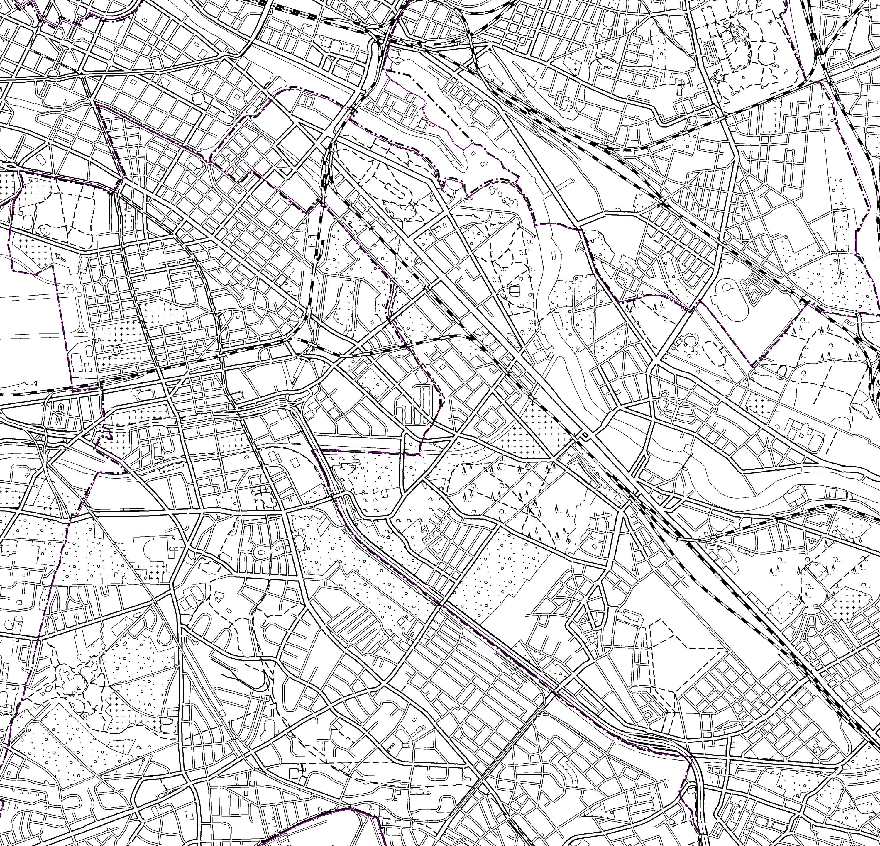
| ebenen | Wasserschutzgebiet Hintergrund 1:1000, 1:5000 Brunnengalerien Wasserwerke Polygone |
| nutzungsbedingungen | Nutzungsbedingungen noch nicht abschließend formuliert |
| zugriffsbeschränkungen | Ressource unterliegt der jeweiligen Gesetzgebung zum Urheberrecht Ressource unterliegt lizenzrechtlichen Bestimmungen Ressource unterliegt der jeweiligen Gesetzgebung zum Schutz des geistigen Eigentums |
| beschreibung | Lageplan zur Allgemeinverfügung vom 06. Februar 2009 zur Darstellung der Schutzzonen Johannisthal |
| Anbieter | |
| Adress | Senatsverwaltung für Stadtentwicklung und Umwelt Berlin Berlin Fehrbelliner Platz 1, 10707 Berlin |
| telefon | +49-30-90139-5257 |
| fax | +49-30-90139-5251 |
| fisbroker@senstadtum.berlin.de | |
| Technology | |
| standard | WMS |
| version | 1.0.0 1.1.0 1.1.1 1.3.0 |
| operationen | GetCapabilities GetMap GetFeatureInfo |
| grafikformate | image/jpeg image/png |
| rechneradresse | http://fbinter.stadt-berlin.de/fb/wms/senstadt/k_wsg_johannisthal |
| legend | |
| Layers | |
| Wasserschutzgebiet (ID: 0) | |
| Show Layer on Map | |
| Download | Moabit Karte Berlin Karte |
| Abstract | |
| MetaData | http://fbinter.stadt-berlin.de/fb/csw?REQUEST=GetRecordById&SERVICE=CSW&VERSION=2.0.2&ID=28f4527d-dcb5-3668-9a9f-af23efd27701&ELEMENTSETNAME=FULL |
| GDI ID | undefined |
| Style | Standard GDI Style (gdi_default) |
| Legend | http://fbinter.stadt-berlin.de/fb/wms/legend/senstadt/k_wsg_johannisthal?layerID=0 (300x300) |
| ScaleHint | 0-105 |
| Keywords | Karten,Geodaten,Berlin,WSG,Allgemeinverfügung,Umweltatlas |
| BoundingBox | EPSG:3068 (10000,25000,20000,35000) |
| BoundingBox | EPSG:4326 (52.417,13.405,52.5071,13.5518) |
| Hintergrund 1:1000, 1:5000 (ID: 1) | |
| Show Layer on Map | |
| Download | Moabit Karte Berlin Karte |
| Abstract | |
| MetaData | http://fbinter.stadt-berlin.de/fb/csw?REQUEST=GetRecordById&SERVICE=CSW&VERSION=2.0.2&ID=28f4527d-dcb5-3668-9a9f-af23efd27701&ELEMENTSETNAME=FULL |
| GDI ID | undefined |
| Style | Standard GDI Style (gdi_default) |
| Legend | http://fbinter.stadt-berlin.de/fb/wms/legend/senstadt/k_wsg_johannisthal?layerID=1 (300x300) |
| ScaleHint | 0-105 |
| Keywords | Karten,Geodaten,Berlin,WSG,Allgemeinverfügung,Umweltatlas |
| BoundingBox | EPSG:3068 (10000,25000,20000,35000) |
| BoundingBox | EPSG:4326 (52.417,13.405,52.5071,13.5518) |
| Brunnengalerien (ID: 2) | |
| Show Layer on Map | |
| Download | Moabit Karte Berlin Karte |
| Abstract | |
| MetaData | http://fbinter.stadt-berlin.de/fb/csw?REQUEST=GetRecordById&SERVICE=CSW&VERSION=2.0.2&ID=28f4527d-dcb5-3668-9a9f-af23efd27701&ELEMENTSETNAME=FULL |
| GDI ID | undefined |
| Style | Standard GDI Style (gdi_default) |
| Legend | http://fbinter.stadt-berlin.de/fb/wms/legend/senstadt/k_wsg_johannisthal?layerID=2 (300x300) |
| ScaleHint | 0-105 |
| Keywords | Karten,Geodaten,Berlin,WSG,Allgemeinverfügung,Umweltatlas |
| BoundingBox | EPSG:3068 (10000,25000,20000,35000) |
| BoundingBox | EPSG:4326 (52.417,13.405,52.5071,13.5518) |
| Wasserwerke (ID: 3) | |
| Show Layer on Map | |
| Download | Moabit Karte Berlin Karte |
| Abstract | |
| MetaData | http://fbinter.stadt-berlin.de/fb/csw?REQUEST=GetRecordById&SERVICE=CSW&VERSION=2.0.2&ID=28f4527d-dcb5-3668-9a9f-af23efd27701&ELEMENTSETNAME=FULL |
| GDI ID | undefined |
| Style | Standard GDI Style (gdi_default) |
| Legend | http://fbinter.stadt-berlin.de/fb/wms/legend/senstadt/k_wsg_johannisthal?layerID=3 (300x300) |
| ScaleHint | 0-105 |
| Keywords | Karten,Geodaten,Berlin,WSG,Allgemeinverfügung,Umweltatlas |
| BoundingBox | EPSG:3068 (10000,25000,20000,35000) |
| BoundingBox | EPSG:4326 (52.417,13.405,52.5071,13.5518) |
| Polygone (ID: 4) | |
| Show Layer on Map | |
| Download | Moabit Karte Berlin Karte |
| Abstract | |
| MetaData | http://fbinter.stadt-berlin.de/fb/csw?REQUEST=GetRecordById&SERVICE=CSW&VERSION=2.0.2&ID=28f4527d-dcb5-3668-9a9f-af23efd27701&ELEMENTSETNAME=FULL |
| GDI ID | undefined |
| Style | Standard GDI Style (gdi_default) |
| Legend | http://fbinter.stadt-berlin.de/fb/wms/legend/senstadt/k_wsg_johannisthal?layerID=4 (300x300) |
| ScaleHint | 0-105 |
| Keywords | Karten,Geodaten,Berlin,WSG,Allgemeinverfügung,Umweltatlas |
| BoundingBox | EPSG:3068 (10000,25000,20000,35000) |
| BoundingBox | EPSG:4326 (52.417,13.405,52.5071,13.5518) |
