Biotoptypen: Biotopwerte (Umweltatlas)
| Type | wms |
|---|---|
| Title | Biotoptypen: Biotopwerte (Umweltatlas) |
| Category | Umweltatlas |
| Download | See individual layer for download link. |
| FisBroker-Link | http://fbinter.stadt-berlin.de/fb/index.jsp?loginkey=showMap&mapId=k_fb_btwert@senstadt |
| Keywords | Habitats and biotopes,Biotop,Landschaftsplanung,Naturschutz,Karten,Geodaten,Berlin,Flora und Fauna,Biotope,Biotopkartierung,Biotoptypenkartierung,Biotoptypenliste,Biotopwerte,Biotopbewertung,Biotopschutz,FFH,Lebensraumtypen,Naturhaushalt,Landschaft,Konfliktpotenziale,Stadtgrün,Eingriffe,Auhagen,wertvolle Lebensräume,Biotoptypenbewertung,Auhagen Methode |
| Beschreibung | |
| link | ?id=k_fb_btwert@senstadt&type=WMS |
| kurzbeschreibung | Darstellung des Biotopwertes bzw. des Konfliktpotenziales bei Eingriffen in Natur und Landschaft auf Grundlage der Biotoptypenkarte Berlin |
| koordinatensysteme | EPSG:25833, EPSG:4258 |
| ausdehnung | EPSG:25833: 367190,96, 5798934,34, 417447,14, 5838875,02 EPSG:4258: 13,05, 52,32, 13,78, 52,69 |
| ebenen | Biotopwerte (Primärdaten) Biotopwerte (Sekundärdaten) Biotopgrenzen Blockkarte 1:5000 (ISU5, Raumbezug Umweltatlas 2010) Straßennamen K5 ALK Gleise Biotopschlüssel |
| nutzungsbedingungen | Nutzungsbedingungen noch nicht abschließend formuliert |
| zugriffsbeschränkungen | Ressource unterliegt der jeweiligen Gesetzgebung zum Urheberrecht Ressource unterliegt lizenzrechtlichen Bestimmungen Ressource unterliegt der jeweiligen Gesetzgebung zum Schutz des geistigen Eigentums |
| beschreibung | Darstellung des Biotopwertes bzw. des Konfliktpotenziales bei Eingriffen in Natur und Landschaft auf Grundlage der Biotoptypenkarte Berlin |
| Anbieter | |
| Adress | Senatsverwaltung für Stadtentwicklung und Umwelt Berlin Berlin Fehrbelliner Platz 1, 10707 Berlin |
| telefon | +49-30-90139-5257 |
| fax | +49-30-90139-5251 |
| fisbroker@senstadtum.berlin.de | |
| Technology | |
| standard | WMS |
| version | 1.0.0 1.1.0 1.1.1 1.3.0 |
| operationen | GetCapabilities GetMap GetFeatureInfo |
| grafikformate | image/jpeg image/png |
| rechneradresse | http://fbinter.stadt-berlin.de/fb/wms/senstadt/k_fb_btwert |
| legend | |
| Layers | |
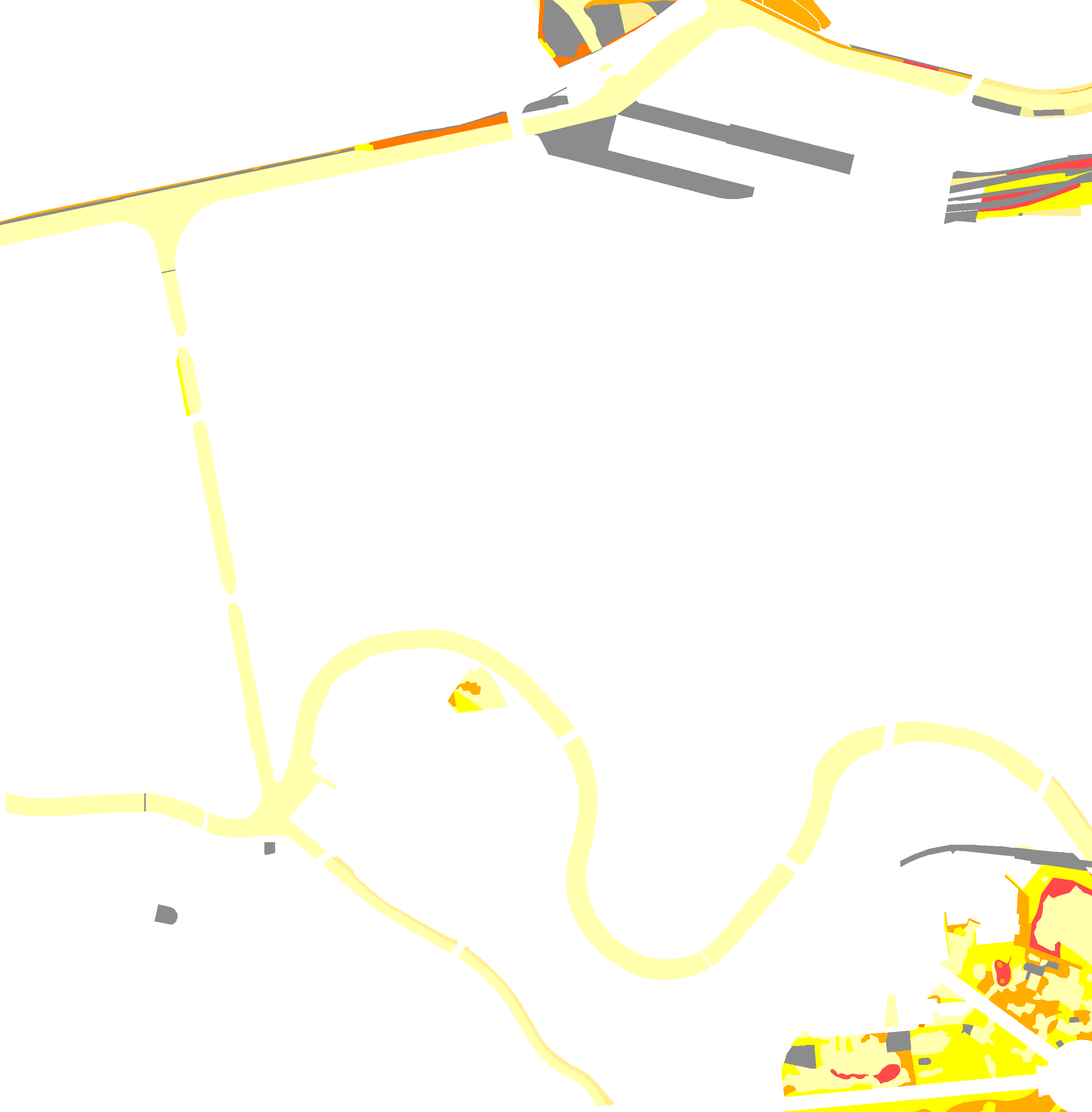
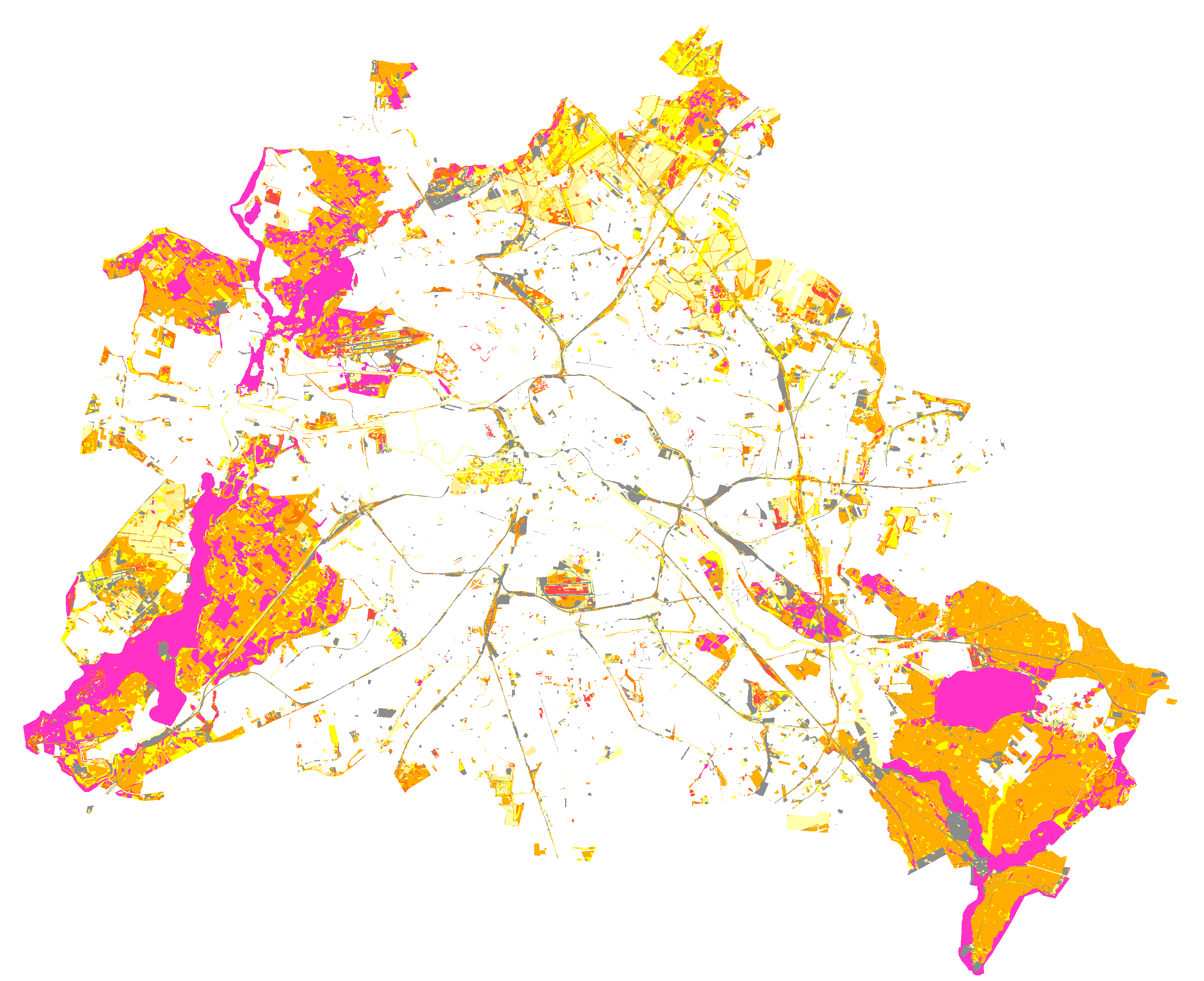
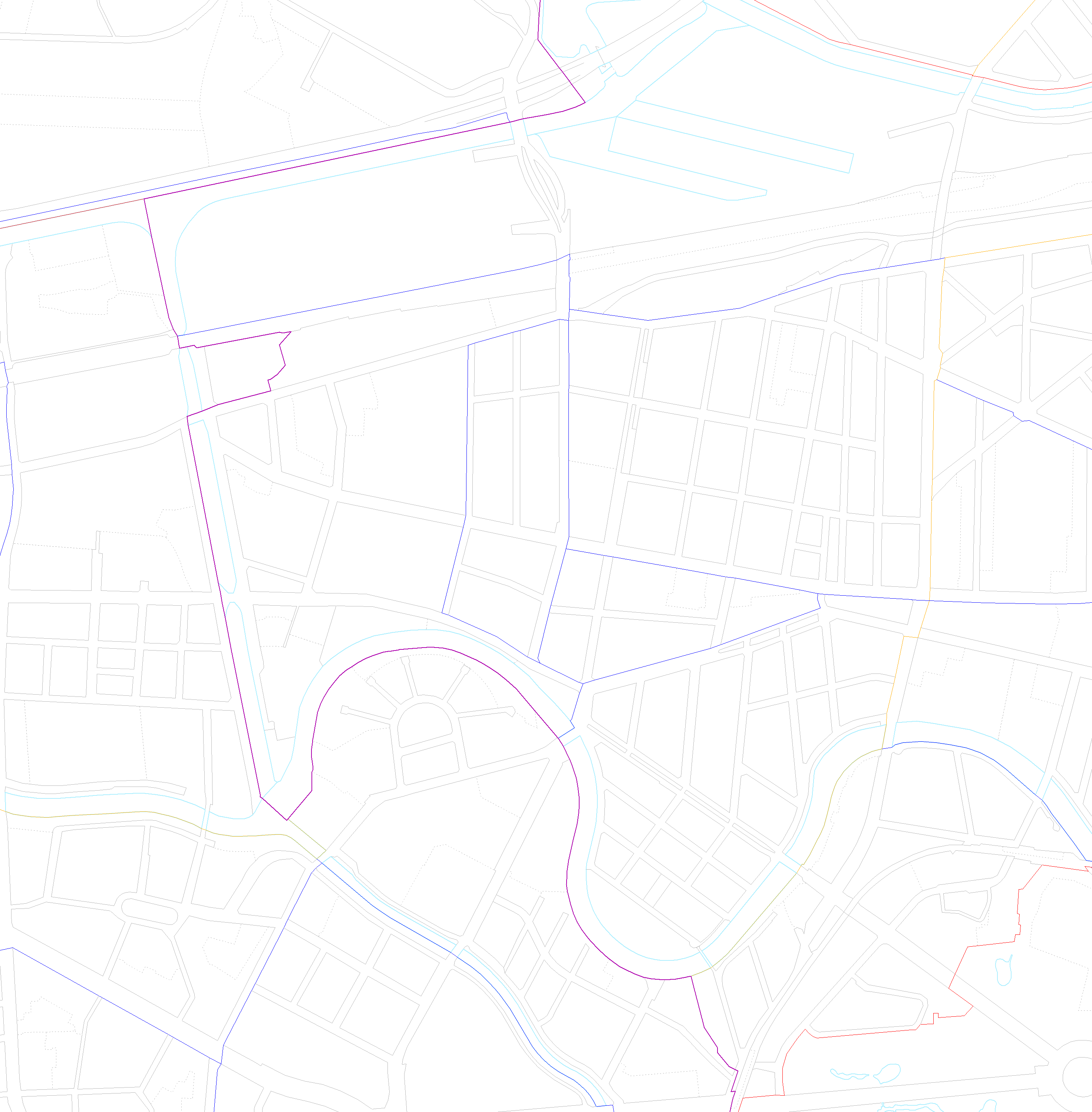
| Biotopwerte (Primärdaten) (ID: 0) | |
| Show Layer on Map | |
| Download | Moabit Karte Berlin Karte |
| Abstract | Bewertung der Biotoptypen Berlins nach der Auhagen-Methodik. Die Biotope wurden anhand der Biotoptypenbewertungsliste aus dem Anhang 11 Verfahren zur Bewertung und Bilanzierung von Eingriffen im Land Berlin bewertet. Kartierung mit terrestrisch erhobene Daten (Primärdaten). |
| MetaData | http://fbinter.stadt-berlin.de/fb/csw?REQUEST=GetRecordById&SERVICE=CSW&VERSION=2.0.2&ID=9e125940-1ae6-356e-a78f-52f4ddf6415c&ELEMENTSETNAME=FULL |
| GDI ID | undefined |
| Style | Standard GDI Style (gdi_default) |
| Legend | http://fbinter.stadt-berlin.de/fb_daten/legenden/umweltatlas/leg_fb_btwert.gif (72x72) |
| ScaleHint | 0-105 |
| Keywords | Karten,Geodaten,Berlin,Flora und Fauna,Biotope,Biotopkartierung,Biotoptypenkartierung,Biotoptypenliste,Biotopwerte,Biotopbewertung,Biotopschutz,FFH,Lebensraumtypen,Naturhaushalt,Landschaft,Konfliktpotenziale,Stadtgrün,Eingriffe,Auhagen,wertvolle Lebensräume,Biotoptypenbewertung,Auhagen Methode |
| BoundingBox | EPSG:25833 (5798934.3364,367190.9604,5838875.0218,417447.1434) |
| BoundingBox | EPSG:4258 (52.3246,13.0512,52.6935,13.7785) |
| BoundingBox | EPSG:4326 (52.3246,13.0512,52.6935,13.7785) |
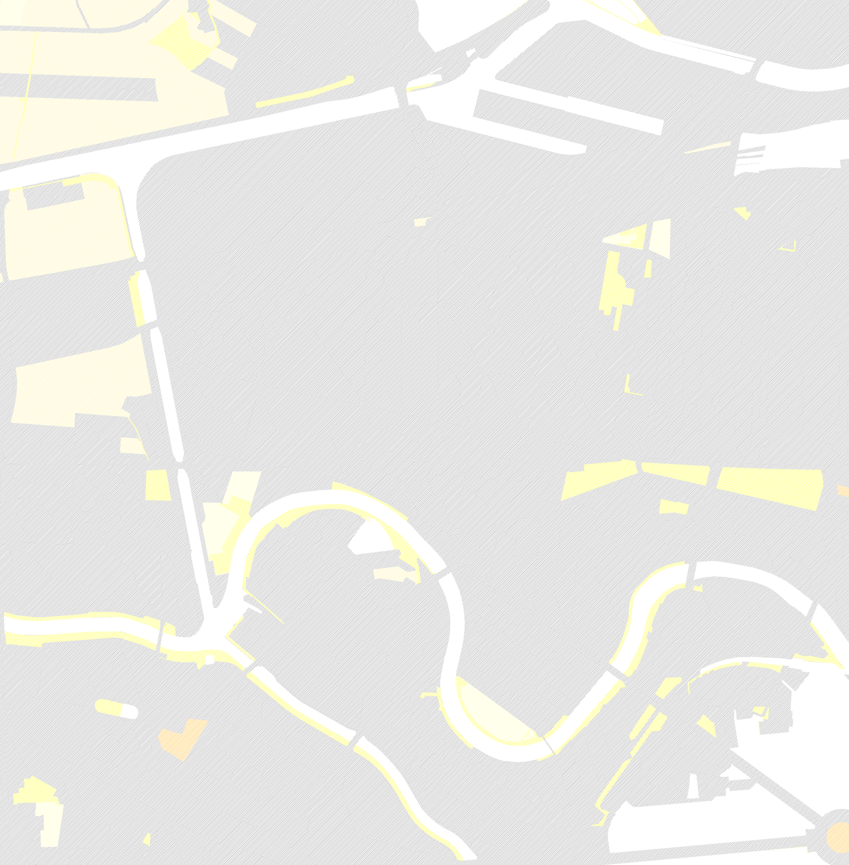
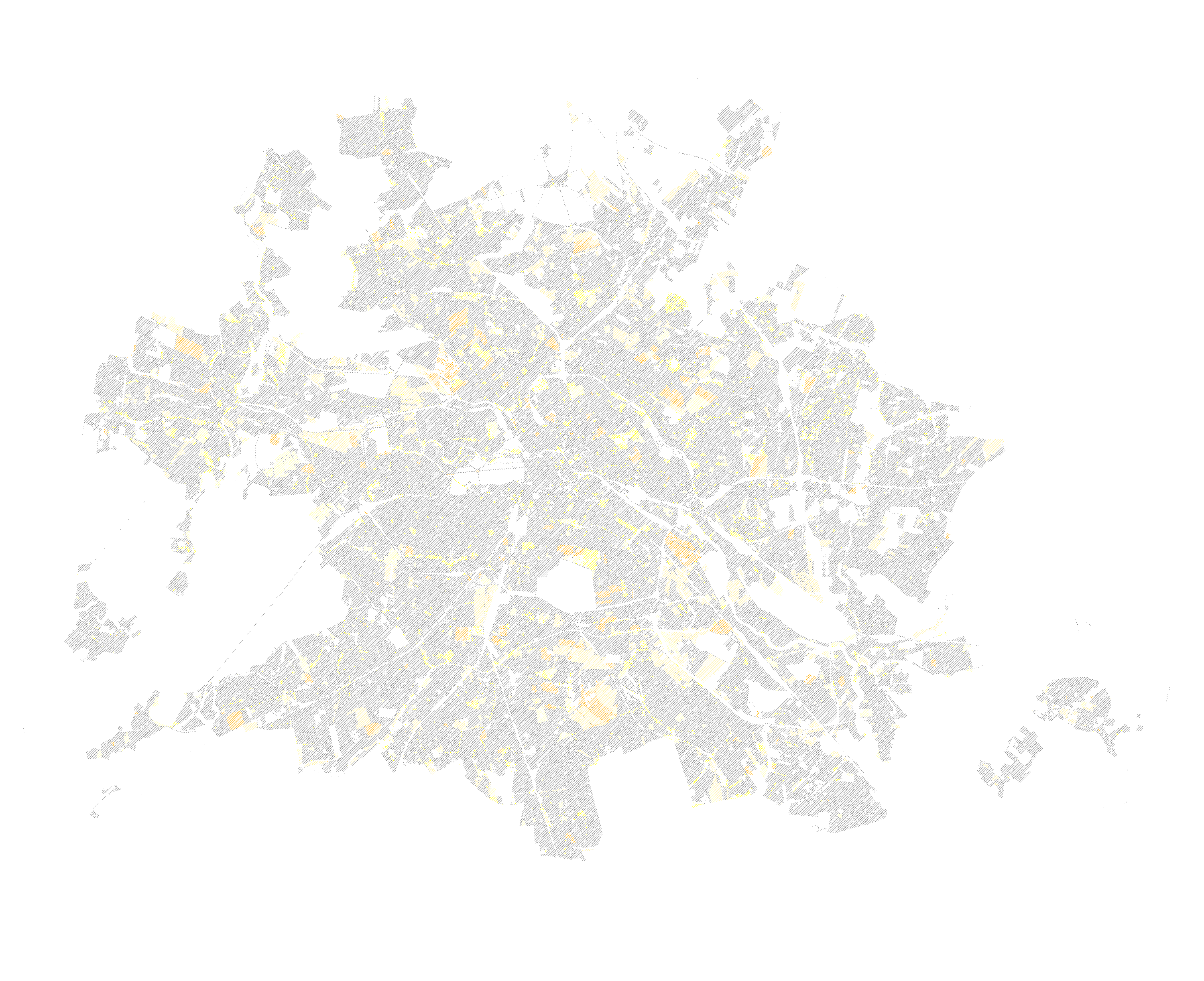
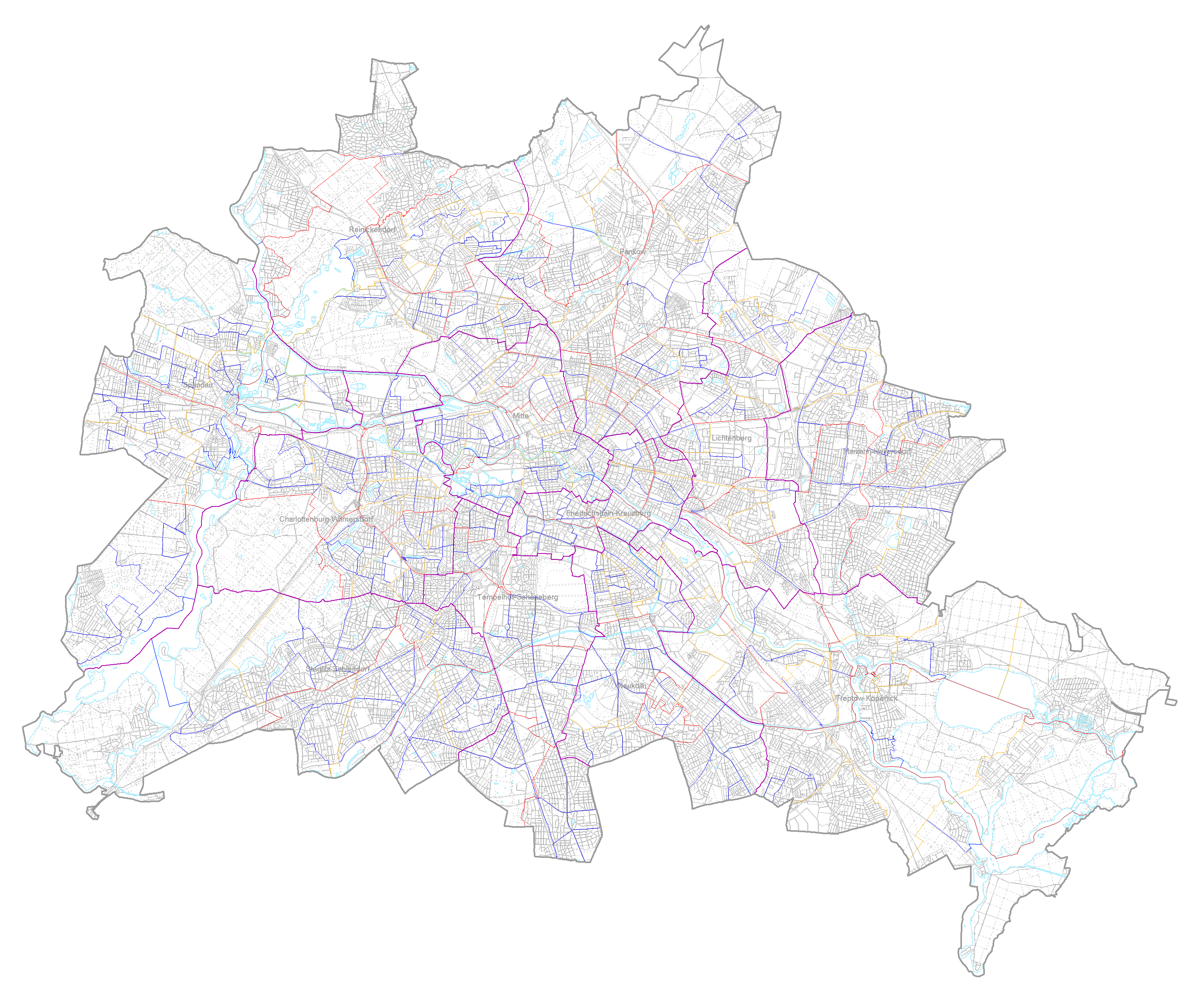
| Biotopwerte (Sekundärdaten) (ID: 1) | |
| Show Layer on Map | |
| Download | Moabit Karte Berlin Karte |
| Abstract | Bewertung der Biotoptypen Berlins nach der Auhagen-Methodik. Die Biotope wurden anhand der Biotoptypenbewertungsliste aus dem Anhang 11 Verfahren zur Bewertung und Bilanzierung von Eingriffen im Land Berlin bewertet. Kartierung mit Hilfe von Sekundärdaten (Luftbilder, Stadtstrukturkarten, Grünflächenkataster etc.) |
| MetaData | http://fbinter.stadt-berlin.de/fb/csw?REQUEST=GetRecordById&SERVICE=CSW&VERSION=2.0.2&ID=9e125940-1ae6-356e-a78f-52f4ddf6415c&ELEMENTSETNAME=FULL |
| GDI ID | undefined |
| Style | Standard GDI Style (gdi_default) |
| Legend | http://fbinter.stadt-berlin.de/fb_daten/legenden/umweltatlas/leg_fb_btwert.gif (72x72) |
| ScaleHint | 0-105 |
| Keywords | Karten,Geodaten,Berlin,Flora und Fauna,Biotope,Biotopkartierung,Biotoptypenkartierung,Biotoptypenliste,Biotopwerte,Biotopbewertung,Biotopschutz,FFH,Lebensraumtypen,Naturhaushalt,Landschaft,Konfliktpotenziale,Stadtgrün,Eingriffe,Auhagen,wertvolle Lebensräume,Biotoptypenbewertung,Auhagen Methode |
| BoundingBox | EPSG:25833 (5798934.3364,367190.9604,5838875.0218,417447.1434) |
| BoundingBox | EPSG:4258 (52.3246,13.0512,52.6935,13.7785) |
| BoundingBox | EPSG:4326 (52.3246,13.0512,52.6935,13.7785) |
| Biotopgrenzen (ID: 2) | |
| Show Layer on Map | |
| Download | Moabit Karte Berlin Karte |
| Abstract | Biotopgrenzen der Biotopkartierung Berlin |
| MetaData | http://fbinter.stadt-berlin.de/fb/csw?REQUEST=GetRecordById&SERVICE=CSW&VERSION=2.0.2&ID=9e125940-1ae6-356e-a78f-52f4ddf6415c&ELEMENTSETNAME=FULL |
| GDI ID | undefined |
| Style | Standard GDI Style (gdi_default) |
| Legend | http://fbinter.stadt-berlin.de/fb_daten/legenden/umweltatlas/leg_fb_btwert.gif (72x72) |
| ScaleHint | 0-105 |
| Keywords | Karten,Geodaten,Berlin,Flora und Fauna,Biotope,Biotopkartierung,Biotoptypenkartierung,Biotoptypenliste,Biotopwerte,Biotopbewertung,Biotopschutz,FFH,Lebensraumtypen,Naturhaushalt,Landschaft,Konfliktpotenziale,Stadtgrün,Eingriffe,Auhagen,wertvolle Lebensräume,Biotoptypenbewertung,Auhagen Methode |
| BoundingBox | EPSG:25833 (5798934.3364,367190.9604,5838875.0218,417447.1434) |
| BoundingBox | EPSG:4258 (52.3246,13.0512,52.6935,13.7785) |
| BoundingBox | EPSG:4326 (52.3246,13.0512,52.6935,13.7785) |
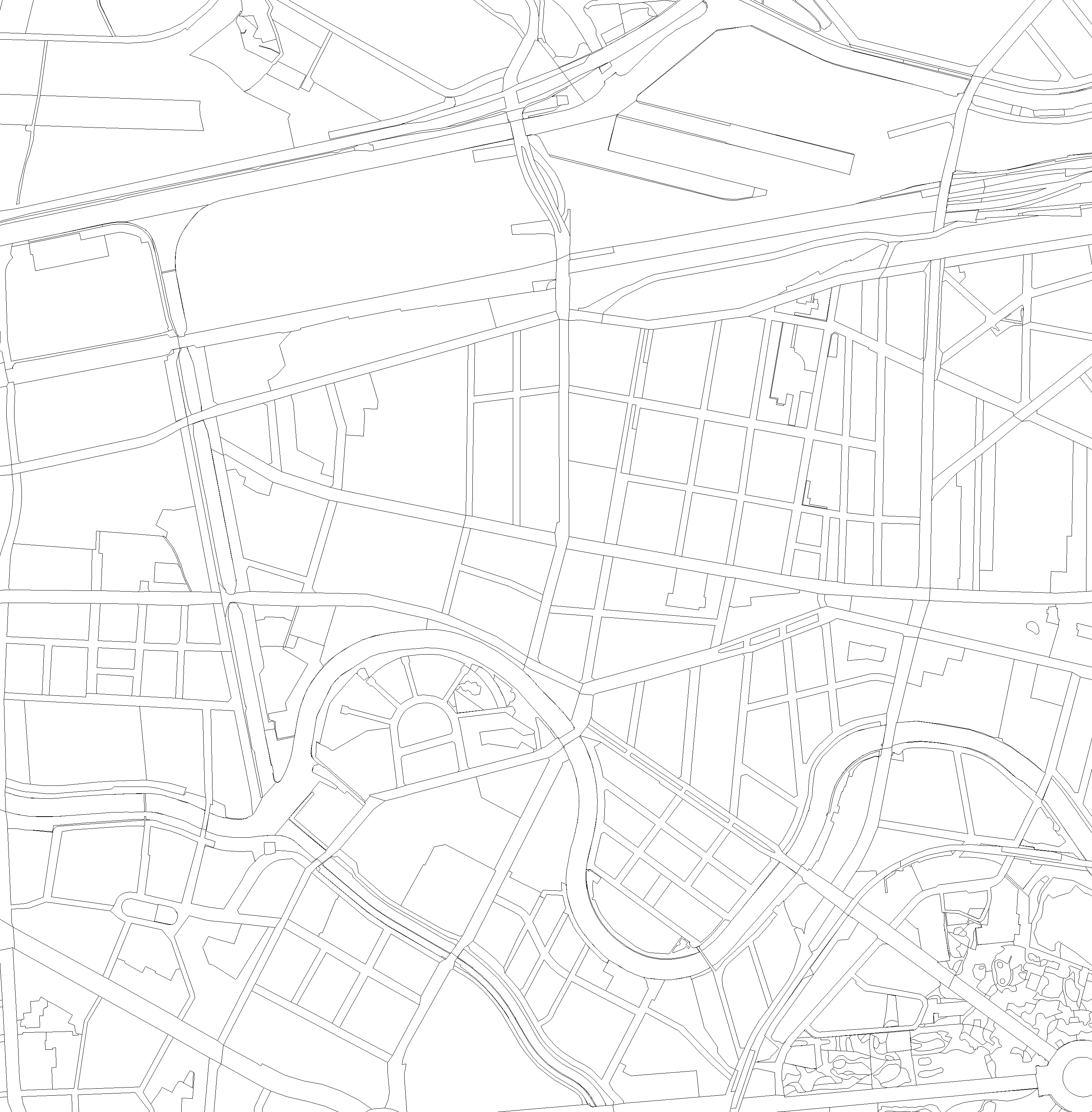
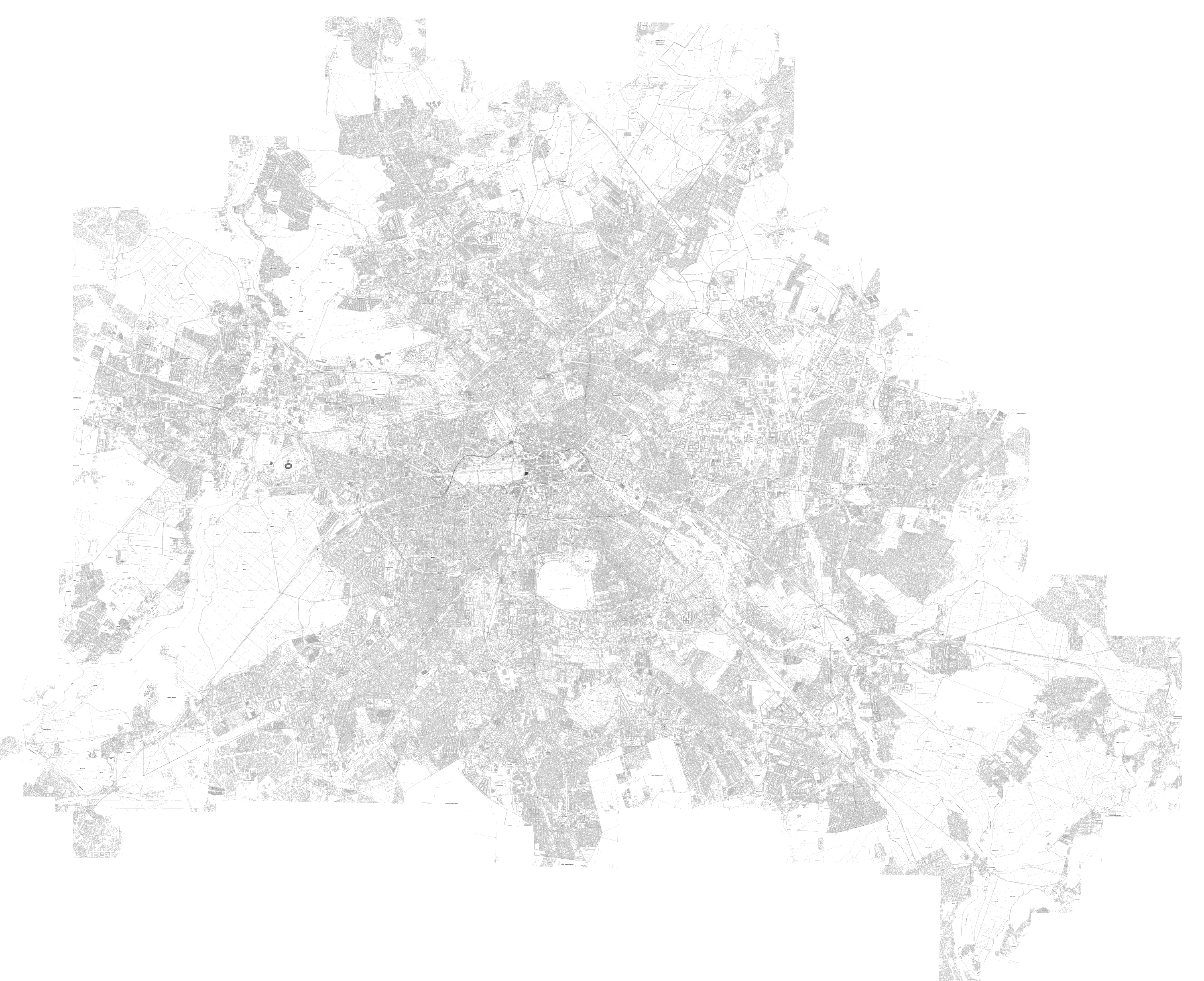
| Blockkarte 1:5000 (ISU5, Raumbezug Umweltatlas 2010) (ID: 3) | |
| Show Layer on Map | |
| Download | Moabit Karte Berlin Karte |
| Abstract | Hintergrundkarte ohne farbige Gewässer- und Bahnflächen, Stand 2010 |
| MetaData | http://fbinter.stadt-berlin.de/fb/csw?REQUEST=GetRecordById&SERVICE=CSW&VERSION=2.0.2&ID=9e125940-1ae6-356e-a78f-52f4ddf6415c&ELEMENTSETNAME=FULL |
| GDI ID | undefined |
| Style | Standard GDI Style (gdi_default) |
| Legend | http://fbinter.stadt-berlin.de/fb/wms/legend/senstadt/k_fb_btwert?layerID=3 (300x300) |
| ScaleHint | 0-105 |
| Keywords | Karten,Geodaten,Berlin,Flora und Fauna,Biotope,Biotopkartierung,Biotoptypenkartierung,Biotoptypenliste,Biotopwerte,Biotopbewertung,Biotopschutz,FFH,Lebensraumtypen,Naturhaushalt,Landschaft,Konfliktpotenziale,Stadtgrün,Eingriffe,Auhagen,wertvolle Lebensräume,Biotoptypenbewertung,Auhagen Methode |
| BoundingBox | EPSG:25833 (5798934.3364,367190.9604,5838875.0218,417447.1434) |
| BoundingBox | EPSG:4258 (52.3246,13.0512,52.6935,13.7785) |
| BoundingBox | EPSG:4326 (52.3246,13.0512,52.6935,13.7785) |
| Straßennamen (ID: 4) | |
| Show Layer on Map | |
| Download | Moabit Karte Berlin Karte |
| Abstract | Strassennamen der Blockkarte 1:5000 ISU5 des Informationssystems Stadt und Umwelt |
| MetaData | http://fbinter.stadt-berlin.de/fb/csw?REQUEST=GetRecordById&SERVICE=CSW&VERSION=2.0.2&ID=9e125940-1ae6-356e-a78f-52f4ddf6415c&ELEMENTSETNAME=FULL |
| GDI ID | undefined |
| Style | Standard GDI Style (gdi_default) |
| Legend | http://fbinter.stadt-berlin.de/fb/wms/legend/senstadt/k_fb_btwert?layerID=4 (300x300) |
| ScaleHint | 0-105 |
| Keywords | Karten,Geodaten,Berlin,Flora und Fauna,Biotope,Biotopkartierung,Biotoptypenkartierung,Biotoptypenliste,Biotopwerte,Biotopbewertung,Biotopschutz,FFH,Lebensraumtypen,Naturhaushalt,Landschaft,Konfliktpotenziale,Stadtgrün,Eingriffe,Auhagen,wertvolle Lebensräume,Biotoptypenbewertung,Auhagen Methode |
| BoundingBox | EPSG:25833 (5798934.3364,367190.9604,5838875.0218,417447.1434) |
| BoundingBox | EPSG:4258 (52.3246,13.0512,52.6935,13.7785) |
| BoundingBox | EPSG:4326 (52.3246,13.0512,52.6935,13.7785) |
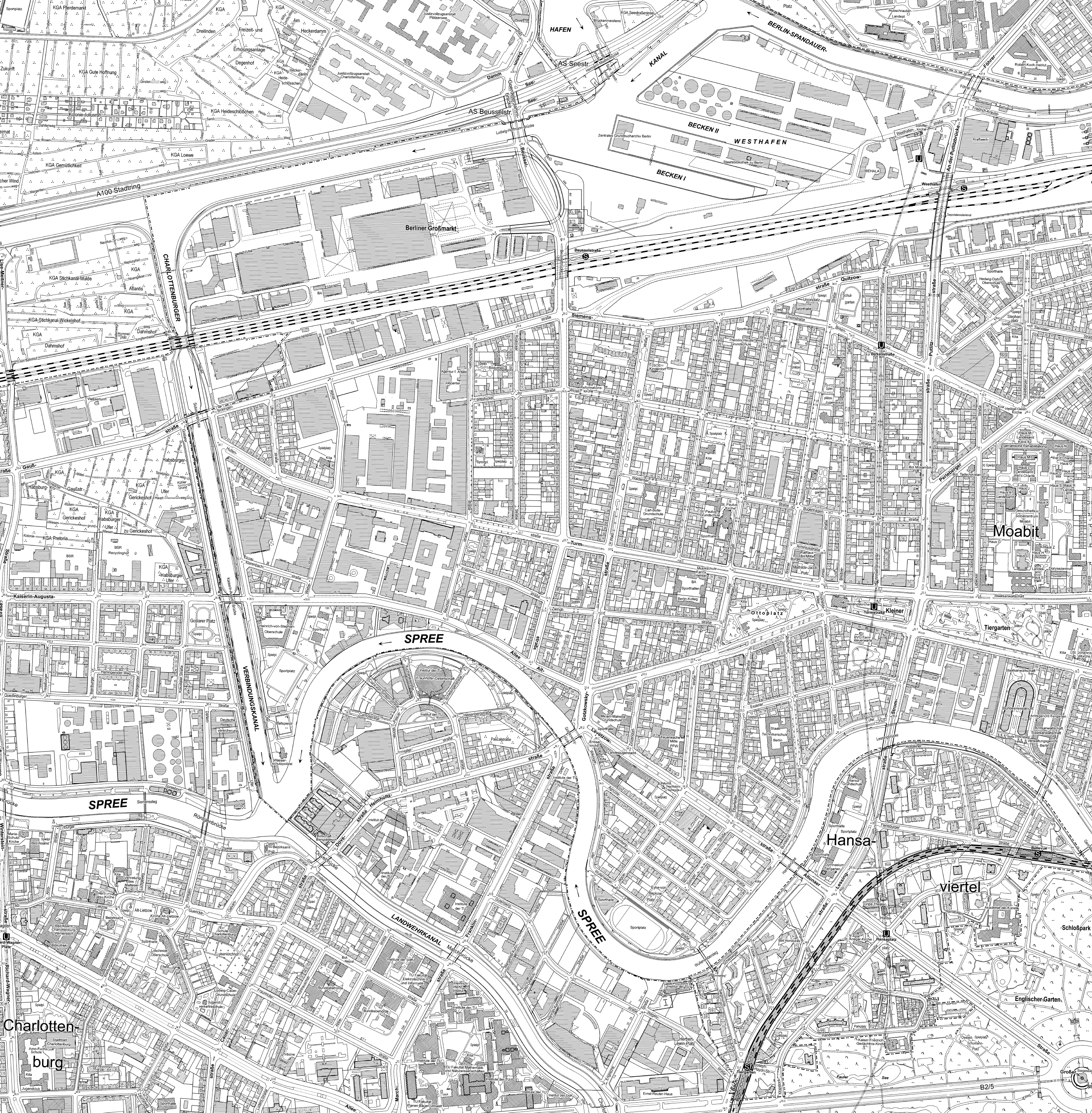
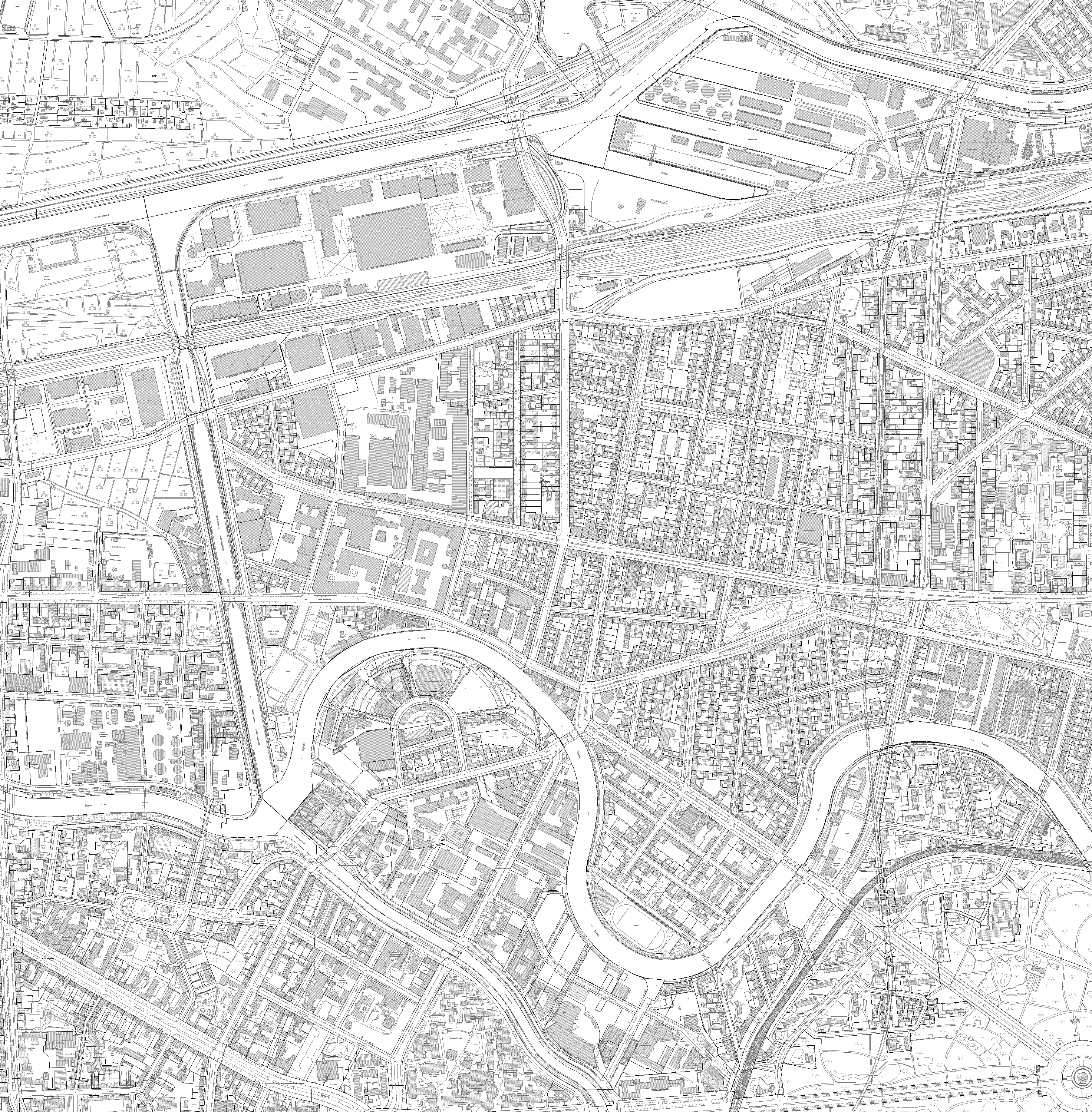
| K5 (ID: 5) | |
| Show Layer on Map | |
| Download | Moabit Karte Berlin Karte |
| Abstract | Karte 1:5000 der Vermessungsämter der Bezirke Berlin |
| MetaData | http://fbinter.stadt-berlin.de/fb/csw?REQUEST=GetRecordById&SERVICE=CSW&VERSION=2.0.2&ID=9e125940-1ae6-356e-a78f-52f4ddf6415c&ELEMENTSETNAME=FULL |
| GDI ID | undefined |
| Style | Standard GDI Style (gdi_default) |
| Legend | http://fbinter.stadt-berlin.de/fb/wms/legend/senstadt/k_fb_btwert?layerID=5 (300x300) |
| ScaleHint | 0-105 |
| Keywords | Karten,Geodaten,Berlin,Flora und Fauna,Biotope,Biotopkartierung,Biotoptypenkartierung,Biotoptypenliste,Biotopwerte,Biotopbewertung,Biotopschutz,FFH,Lebensraumtypen,Naturhaushalt,Landschaft,Konfliktpotenziale,Stadtgrün,Eingriffe,Auhagen,wertvolle Lebensräume,Biotoptypenbewertung,Auhagen Methode |
| BoundingBox | EPSG:25833 (5798934.3364,367190.9604,5838875.0218,417447.1434) |
| BoundingBox | EPSG:4258 (52.3246,13.0512,52.6935,13.7785) |
| BoundingBox | EPSG:4326 (52.3246,13.0512,52.6935,13.7785) |
| ALK (ID: 6) | |
| Show Layer on Map | |
| Download | Moabit Karte Berlin Karte |
| Abstract | Automatisiertes Liegenschafskataster Berlin, Senatsverwaltung für Stadtentwicklung Abt. III |
| MetaData | http://fbinter.stadt-berlin.de/fb/csw?REQUEST=GetRecordById&SERVICE=CSW&VERSION=2.0.2&ID=9e125940-1ae6-356e-a78f-52f4ddf6415c&ELEMENTSETNAME=FULL |
| GDI ID | undefined |
| Style | Standard GDI Style (gdi_default) |
| Legend | http://fbinter.stadt-berlin.de/fb/wms/legend/senstadt/k_fb_btwert?layerID=6 (300x300) |
| ScaleHint | 0-105 |
| Keywords | Karten,Geodaten,Berlin,Flora und Fauna,Biotope,Biotopkartierung,Biotoptypenkartierung,Biotoptypenliste,Biotopwerte,Biotopbewertung,Biotopschutz,FFH,Lebensraumtypen,Naturhaushalt,Landschaft,Konfliktpotenziale,Stadtgrün,Eingriffe,Auhagen,wertvolle Lebensräume,Biotoptypenbewertung,Auhagen Methode |
| BoundingBox | EPSG:25833 (5798934.3364,367190.9604,5838875.0218,417447.1434) |
| BoundingBox | EPSG:4258 (52.3246,13.0512,52.6935,13.7785) |
| BoundingBox | EPSG:4326 (52.3246,13.0512,52.6935,13.7785) |
| Gleise (ID: 7) | |
| Show Layer on Map | |
| Download | Moabit Karte Berlin Karte |
| Abstract | Gleise aus K5 |
| MetaData | http://fbinter.stadt-berlin.de/fb/csw?REQUEST=GetRecordById&SERVICE=CSW&VERSION=2.0.2&ID=9e125940-1ae6-356e-a78f-52f4ddf6415c&ELEMENTSETNAME=FULL |
| GDI ID | undefined |
| Style | Standard GDI Style (gdi_default) |
| Legend | http://fbinter.stadt-berlin.de/fb/wms/legend/senstadt/k_fb_btwert?layerID=7 (300x300) |
| ScaleHint | 0-105 |
| Keywords | Karten,Geodaten,Berlin,Flora und Fauna,Biotope,Biotopkartierung,Biotoptypenkartierung,Biotoptypenliste,Biotopwerte,Biotopbewertung,Biotopschutz,FFH,Lebensraumtypen,Naturhaushalt,Landschaft,Konfliktpotenziale,Stadtgrün,Eingriffe,Auhagen,wertvolle Lebensräume,Biotoptypenbewertung,Auhagen Methode |
| BoundingBox | EPSG:25833 (5798934.3364,367190.9604,5838875.0218,417447.1434) |
| BoundingBox | EPSG:4258 (52.3246,13.0512,52.6935,13.7785) |
| BoundingBox | EPSG:4326 (52.3246,13.0512,52.6935,13.7785) |
| Biotopschlüssel (ID: 8) | |
| Show Layer on Map | |
| Download | Moabit Karte Berlin Karte |
| Abstract | Biotopschlüssel der Biotopkartierung Berlin |
| MetaData | http://fbinter.stadt-berlin.de/fb/csw?REQUEST=GetRecordById&SERVICE=CSW&VERSION=2.0.2&ID=9e125940-1ae6-356e-a78f-52f4ddf6415c&ELEMENTSETNAME=FULL |
| GDI ID | undefined |
| Style | Standard GDI Style (gdi_default) |
| Legend | http://fbinter.stadt-berlin.de/fb/wms/legend/senstadt/k_fb_btwert?layerID=8 (300x300) |
| ScaleHint | 0-105 |
| Keywords | Karten,Geodaten,Berlin,Flora und Fauna,Biotope,Biotopkartierung,Biotoptypenkartierung,Biotoptypenliste,Biotopwerte,Biotopbewertung,Biotopschutz,FFH,Lebensraumtypen,Naturhaushalt,Landschaft,Konfliktpotenziale,Stadtgrün,Eingriffe,Auhagen,wertvolle Lebensräume,Biotoptypenbewertung,Auhagen Methode |
| BoundingBox | EPSG:25833 (5798934.3364,367190.9604,5838875.0218,417447.1434) |
| BoundingBox | EPSG:4258 (52.3246,13.0512,52.6935,13.7785) |
| BoundingBox | EPSG:4326 (52.3246,13.0512,52.6935,13.7785) |
