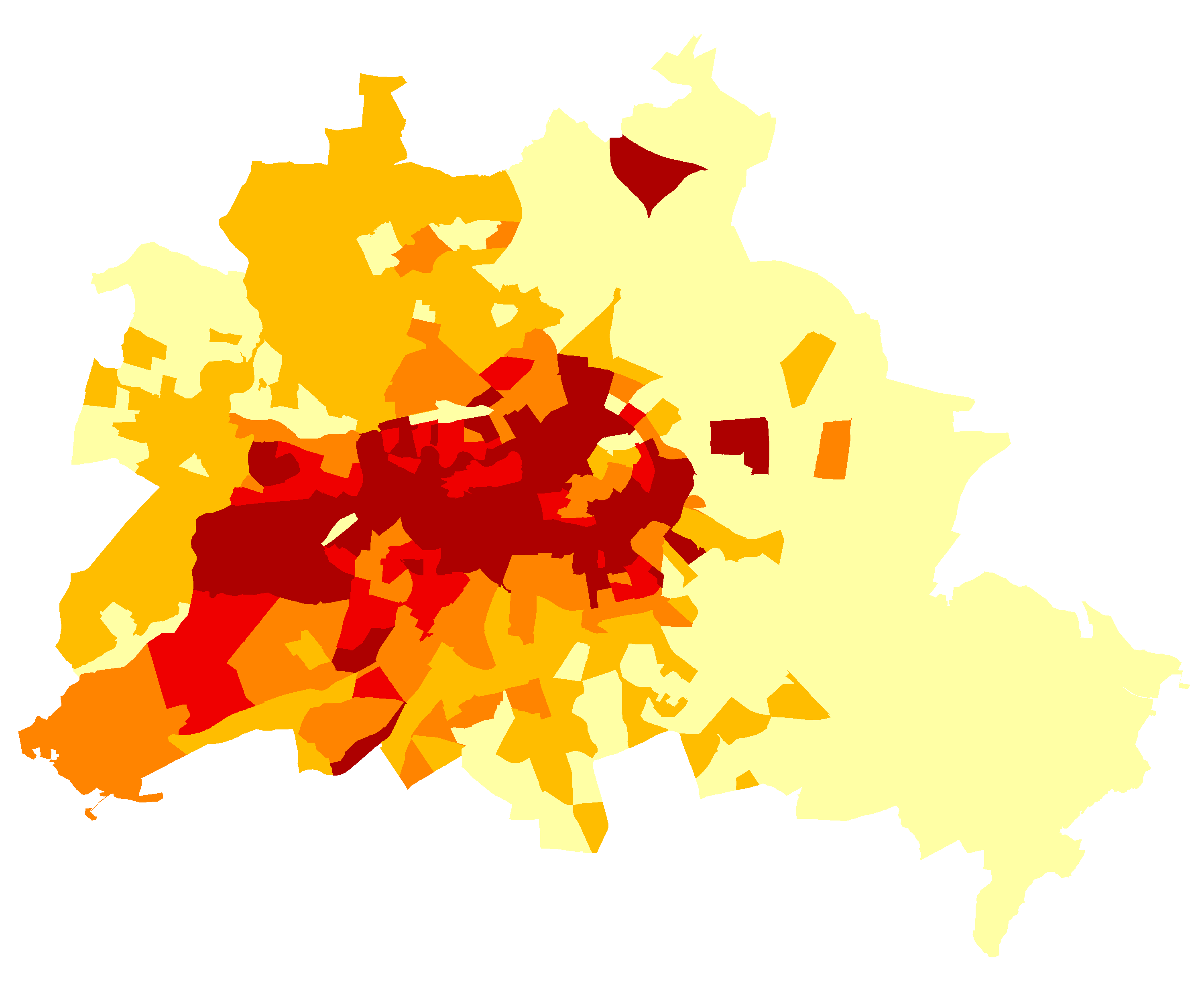
Ausländer 2010 (LOR) - Staatsbürger aus (15) EU-Staaten
| Type | wms |
|---|---|
| Title | Ausländer 2010 (LOR) - Staatsbürger aus (15) EU-Staaten |
| Category | Monitoring Soziale Stadtentwicklung |
| Download | See individual layer for download link. |
| FisBroker-Link | http://fbinter.stadt-berlin.de/fb/index.jsp?loginkey=showMap&mapId=MsozS_E15_2010LOR@senstadt |
| Keywords | Population distribution — demography,Soziales,Karten,Geodaten,Berlin,Monitoring Soziale Stadtentwicklung,2011,Planungsräume,LOR,Ausländeranteil,Ausländer,EU-Staaten |
| Beschreibung | |
| link | ?id=MsozS_E15_2010LOR@senstadt&type=WMS |
| kurzbeschreibung | Staatsangehörige aus den (15) EU-Staaten in % der Einwohnerinnen und Einwohner auf Ebene der Planungsräume 2010(Monitoring Soziale Stadtentwicklung 2011) |
| koordinatensysteme | EPSG:3068 |
| ausdehnung | EPSG:3068: 850, -150, 50350, 40750 |
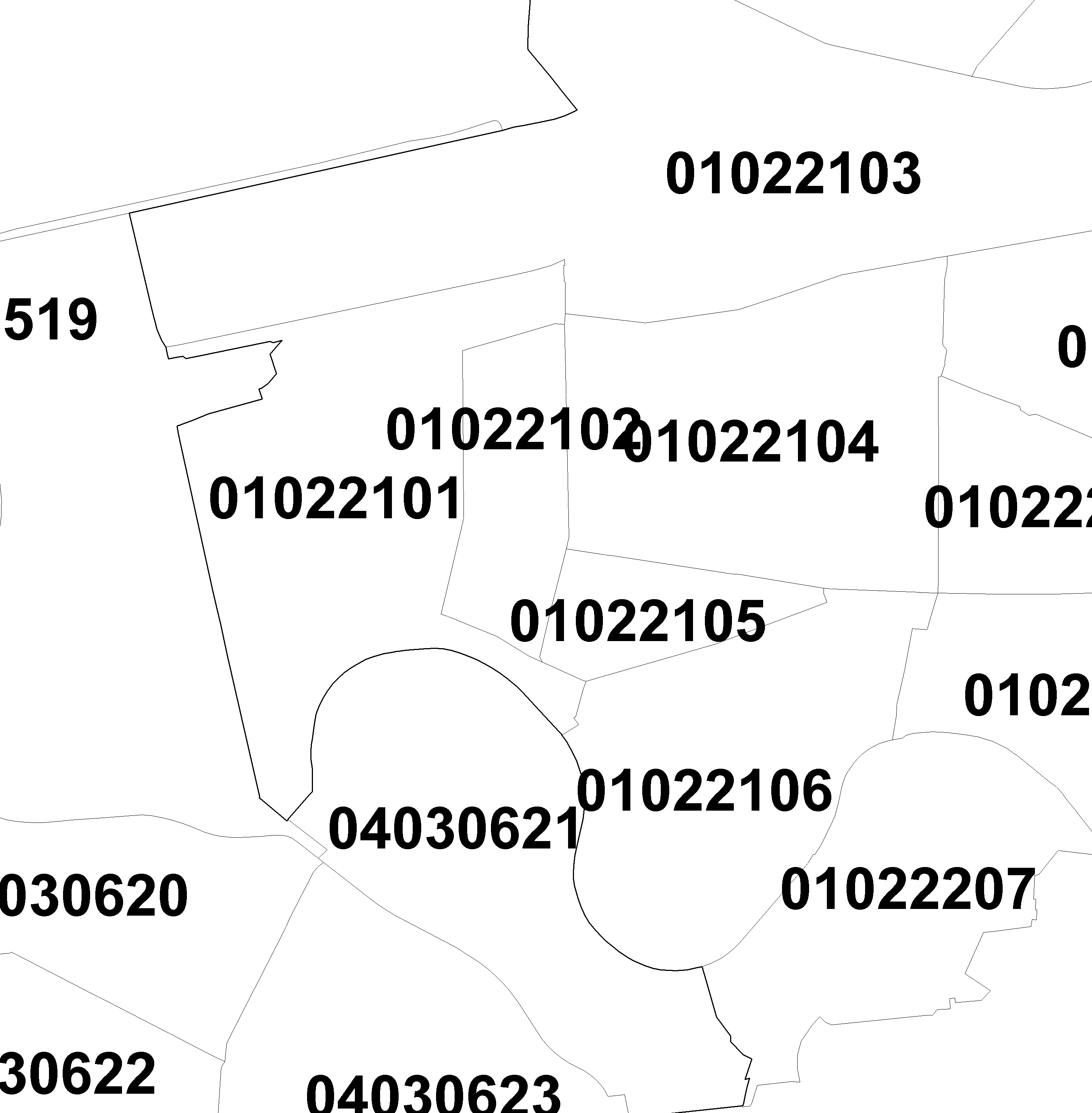
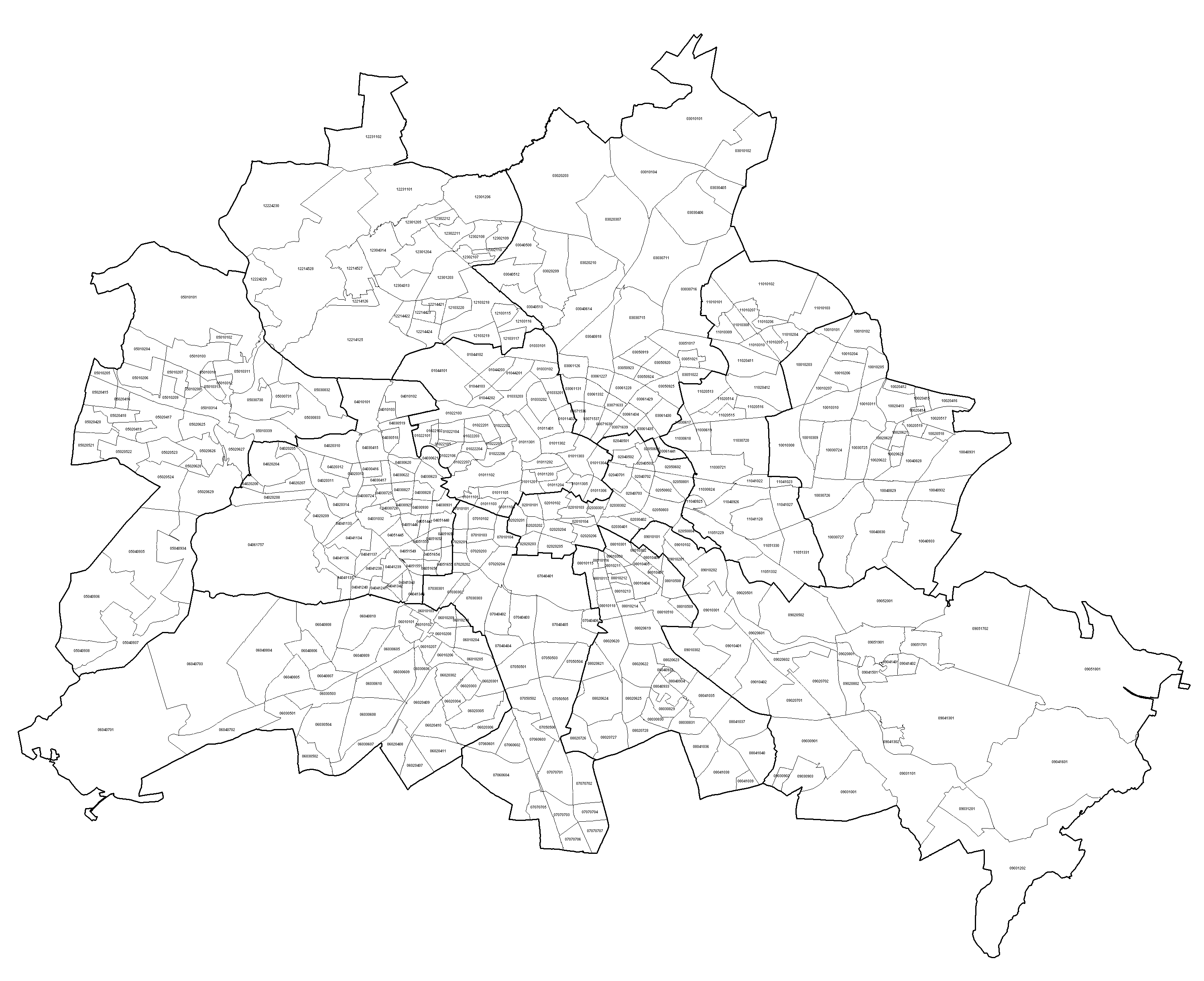
| ebenen | Ausländer 2010 (LOR) - Staatsbürger aus (15) EU-Staaten unbewohnte Flächen Hintergrund 1:5.000- 1:1000 Planungsraumnummern und Konturen |
| nutzungsbedingungen | Nutzungsbedingungen: Für die Verwendung der Daten gelten folgende Nutzungsbestimmungen: http://www.stadtentwicklung.berlin.de/geoinformation/download/nutzIII.pdf - Der Quellenvermerk gemäß §2 lautet "Geoportal Berlin / [Titel des Datensatzes]". |
| zugriffsbeschränkungen | Es gelten keine Bedingungen |
| beschreibung | Staatsangehörige aus den (15) EU-Staaten in % der Einwohnerinnen und Einwohner auf Ebene der Planungsräume (Monitoring Soziale Stadtentwicklung 2010) |
| Anbieter | |
| Adress | Senatsverwaltung für Stadtentwicklung und Umwelt Berlin Berlin Fehrbelliner Platz 1, 10707 Berlin |
| telefon | +49-30-90139-5257 |
| fax | +49-30-90139-5251 |
| fisbroker@senstadtum.berlin.de | |
| Technology | |
| standard | WMS |
| version | 1.0.0 1.1.0 1.1.1 1.3.0 |
| operationen | GetCapabilities GetMap GetFeatureInfo |
| grafikformate | image/jpeg image/png |
| rechneradresse | http://fbinter.stadt-berlin.de/fb/wms/senstadt/MsozS_E15_2010LOR |
| legend | |
| Layers | |
| Ausländer 2010 (LOR) - Staatsbürger aus (15) EU-Staaten (ID: 0) | |
| Show Layer on Map | |
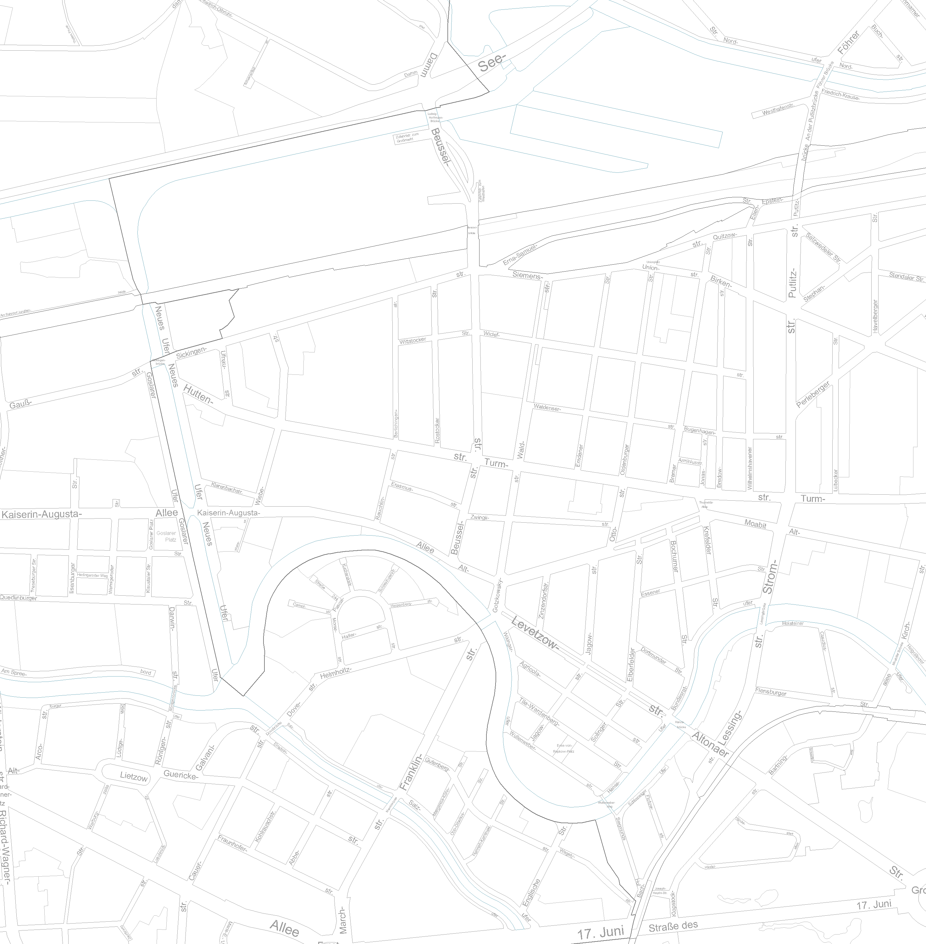
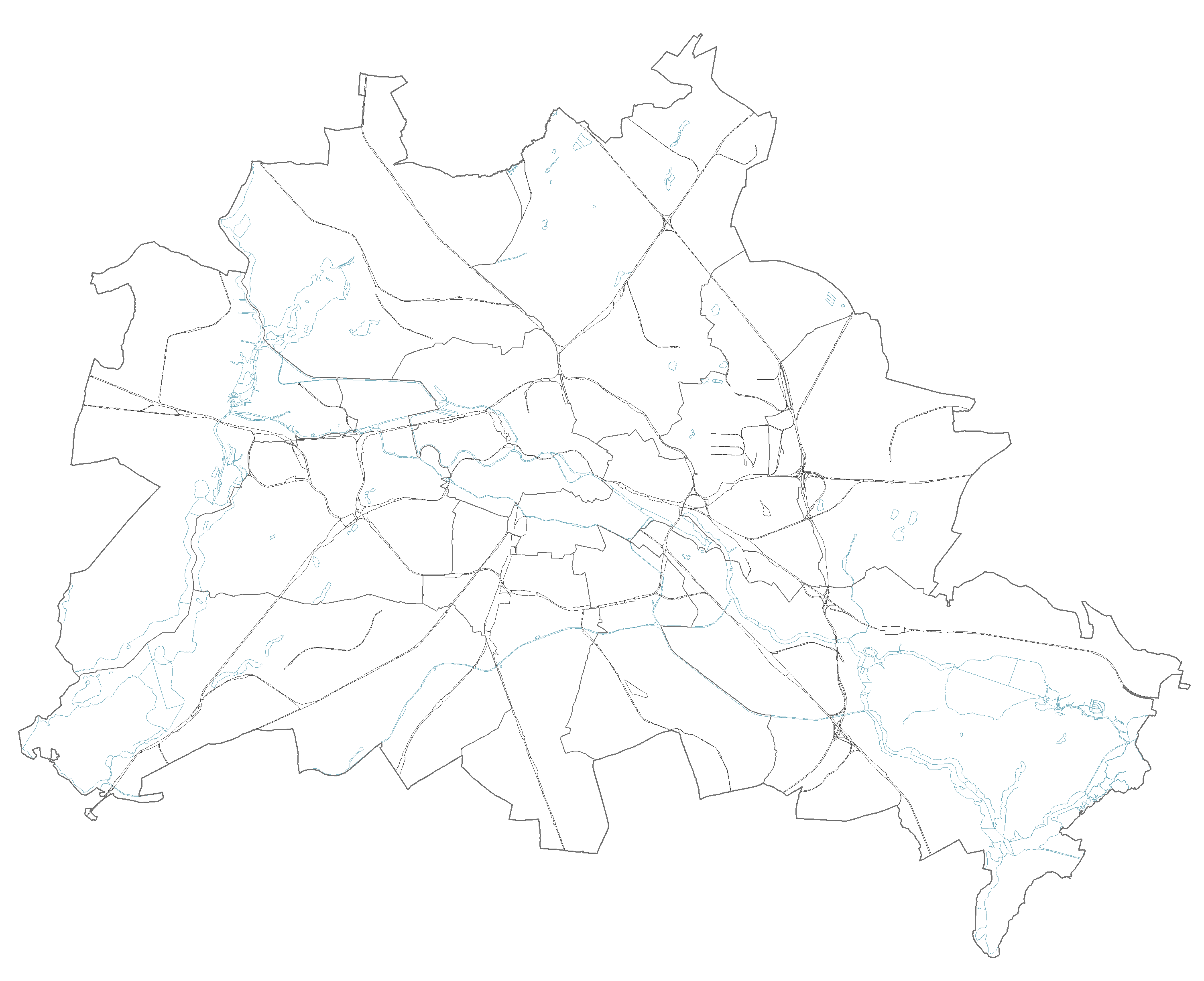
| Download | Moabit Karte Berlin Karte |
| Abstract | |
| MetaData | http://fbinter.stadt-berlin.de/fb/csw?REQUEST=GetRecordById&SERVICE=CSW&VERSION=2.0.2&ID=d3bc71ba-ded4-3960-a175-16d921e5d2d9&ELEMENTSETNAME=FULL |
| GDI ID | undefined |
| Style | Standard GDI Style (gdi_default) |
| Legend | http://fbinter.stadt-berlin.de/fb/wms/legend/senstadt/MsozS_E15_2010LOR?layerID=0 (300x300) |
| ScaleHint | 0-105 |
| Keywords | Karten,Geodaten,Berlin,Monitoring Soziale Stadtentwicklung,2011,Planungsräume,LOR,Ausländeranteil,Ausländer,EU-Staaten |
| BoundingBox | EPSG:3068 (-150,850,40750,50350) |
| BoundingBox | EPSG:4326 (52.3246,13.0512,52.6935,13.7785) |
| unbewohnte Flächen (ID: 1) | |
| Show Layer on Map | |
| Download | Moabit Karte Berlin Karte |
| Abstract | |
| MetaData | http://fbinter.stadt-berlin.de/fb/csw?REQUEST=GetRecordById&SERVICE=CSW&VERSION=2.0.2&ID=d3bc71ba-ded4-3960-a175-16d921e5d2d9&ELEMENTSETNAME=FULL |
| GDI ID | undefined |
| Style | Standard GDI Style (gdi_default) |
| Legend | http://fbinter.stadt-berlin.de/fb/wms/legend/senstadt/MsozS_E15_2010LOR?layerID=1 (300x300) |
| ScaleHint | 0-105 |
| Keywords | Karten,Geodaten,Berlin,Monitoring Soziale Stadtentwicklung,2011,Planungsräume,LOR,Ausländeranteil,Ausländer,EU-Staaten |
| BoundingBox | EPSG:3068 (-150,850,40750,50350) |
| BoundingBox | EPSG:4326 (52.3246,13.0512,52.6935,13.7785) |
| Hintergrund 1:5.000- 1:1000 (ID: 2) | |
| Show Layer on Map | |
| Download | Moabit Karte Berlin Karte |
| Abstract | digitale Karte 1:5.000, ALK 1:1000 |
| MetaData | http://fbinter.stadt-berlin.de/fb/csw?REQUEST=GetRecordById&SERVICE=CSW&VERSION=2.0.2&ID=d3bc71ba-ded4-3960-a175-16d921e5d2d9&ELEMENTSETNAME=FULL |
| GDI ID | undefined |
| Style | Standard GDI Style (gdi_default) |
| Legend | http://fbinter.stadt-berlin.de/fb/wms/legend/senstadt/MsozS_E15_2010LOR?layerID=2 (300x300) |
| ScaleHint | 0-105 |
| Keywords | Karten,Geodaten,Berlin,Monitoring Soziale Stadtentwicklung,2011,Planungsräume,LOR,Ausländeranteil,Ausländer,EU-Staaten |
| BoundingBox | EPSG:3068 (-150,850,40750,50350) |
| BoundingBox | EPSG:4326 (52.3246,13.0512,52.6935,13.7785) |
| Planungsraumnummern und Konturen (ID: 3) | |
| Show Layer on Map | |
| Download | Moabit Karte Berlin Karte |
| Abstract | |
| MetaData | http://fbinter.stadt-berlin.de/fb/csw?REQUEST=GetRecordById&SERVICE=CSW&VERSION=2.0.2&ID=d3bc71ba-ded4-3960-a175-16d921e5d2d9&ELEMENTSETNAME=FULL |
| GDI ID | undefined |
| Style | Standard GDI Style (gdi_default) |
| Legend | http://fbinter.stadt-berlin.de/fb/wms/legend/senstadt/MsozS_E15_2010LOR?layerID=3 (300x300) |
| ScaleHint | 0-105 |
| Keywords | Karten,Geodaten,Berlin,Monitoring Soziale Stadtentwicklung,2011,Planungsräume,LOR,Ausländeranteil,Ausländer,EU-Staaten |
| BoundingBox | EPSG:3068 (-150,850,40750,50350) |
| BoundingBox | EPSG:4326 (52.3246,13.0512,52.6935,13.7785) |
